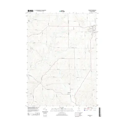
2015 Map of Stockton
USGS Topo · Published 2015About this map
Stockton occupies the northeast corner of this Jo Daviess County landscape, situated atop a plateau where the drainage divide separates the waters of Rush Cr from the Plum River system. The terrain is defined by a dense network of valleys and ridges, including the distinct Welsh Hollow in the northwest and the winding course of the N Fork Plum River. This 2015 survey illustrates a rural environment characterized by a geometric grid of country roads such as E Welch Rd and S Massbach Rd that negotiate the uneven elevation.
Find a feature on this map
61 named features on this map. Tap any name to fly to it.
Don’t see what you’re looking for? This feature index may not catch every label — zoom into the map to look around manually.
Map Details
Editions of this 2015 Stockton Map
This is the sole edition of this map. No revisions or reprints were ever made.
Other maps of this area

1892 · Savanna
USGS Topo · 1:62,500

1911 · Elizabeth
USGS Topo · 1:62,500

1936 · Elizabeth
USGS Topo · 1:62,500

1937 · Lena
USGS Topo · 1:48,000

1942 · Mt Carroll
USGS Topo · 1:62,500

1942 · Lena
USGS Topo · 1:62,500

1943 · Lena
USGS Topo · 1:62,500

1944 · Mt Carroll
USGS Topo · 1:62,500

1952 · Savanna
USGS Topo · 1:62,500

1953 · Blackhawk
USGS Topo · 1:24,000
Featured Places
- Stockton, IL
- Stockton Township, IL
- Derinda Township, IL
- Woodbine Township, IL
- Pleasant Valley Township, IL