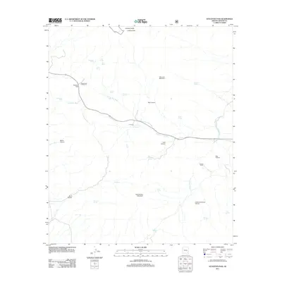
2011 Map of Stockton Pass
USGS Topo · Published 2011About this map
Stockton Pass serves as a critical geographic notch in the high desert, providing a corridor through the mountains marked by the Stockton Pass Campground. This 2011 survey illustrates a landscape of high summits and deep canyons, where water is the primary architect of the terrain. Cattle ranching heritage is evident through named landmarks like C N Ranch and Jernigan Ranch, supported by a complex network of improvements such as the Bar X Trick Tank and Jernigan Trick Tank. High points like Ladybug Peak and Maverick Mountain overlook a drainage system where Stockton Pass Wash and Gillespie Wash collect seasonal runoff. The inclusion of numerous water sources, from Kane Spring to Mash Barrel Spring, highlights the essential infrastructure required for life and livestock in this arid Arizona environment.
Find a feature on this map
39 named features on this map. Tap any name to fly to it.
Don’t see what you’re looking for? This feature index may not catch every label — zoom into the map to look around manually.
Map Details
Editions of this 2011 Stockton Pass Map
This is the sole edition of this map. No revisions or reprints were ever made.
Other maps of this area

1922 · Willcox
USGS Topo · 1:125,000

1942 · Mt. Graham
USGS Topo · 1:62,500

1943 · Willcox
USGS Topo · 1:62,500

1944 · Fisher Hills
USGS Topo · 1:62,500

1945 · Mt. Graham
USGS Topo · 1:62,500

1954 · Silver City
USGS Topo · 1:250,000

1957 · Luzena
USGS Topo · 1:62,500

1958 · Silver City
USGS Topo · 1:250,000

1958 · Willcox
USGS Topo · 1:62,500

1962 · Silver City
USGS Topo · 1:250,000