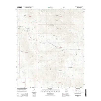
2014 Map of Stockton Pass
USGS Topo · Published 2014About this map
The high peaks and deep drainage systems of the Pinaleno Mountains dominate this landscape within the Coronado National Forest. Centered on the critical gap of Stockton Pass, the terrain is defined by a network of ephemeral water sources and rugged canyons. To the north, Ladybug Peak and Ladybug Saddle tower over the branching ravines of Dutch Henry Canyon and Righthand Canyon, while to the south, the topography rises toward Maverick Mtn and Kane Spring Mtn.
Find a feature on this map
48 named features on this map. Tap any name to fly to it.
Don’t see what you’re looking for? This feature index may not catch every label — zoom into the map to look around manually.
Map Details
Editions of this 2014 Stockton Pass Map
This is the sole edition of this map. No revisions or reprints were ever made.
Other maps of this area

1922 · Willcox
USGS Topo · 1:125,000

1942 · Mt. Graham
USGS Topo · 1:62,500

1943 · Willcox
USGS Topo · 1:62,500

1944 · Fisher Hills
USGS Topo · 1:62,500

1945 · Mt. Graham
USGS Topo · 1:62,500

1954 · Silver City
USGS Topo · 1:250,000

1957 · Luzena
USGS Topo · 1:62,500

1958 · Silver City
USGS Topo · 1:250,000

1958 · Willcox
USGS Topo · 1:62,500

1962 · Silver City
USGS Topo · 1:250,000