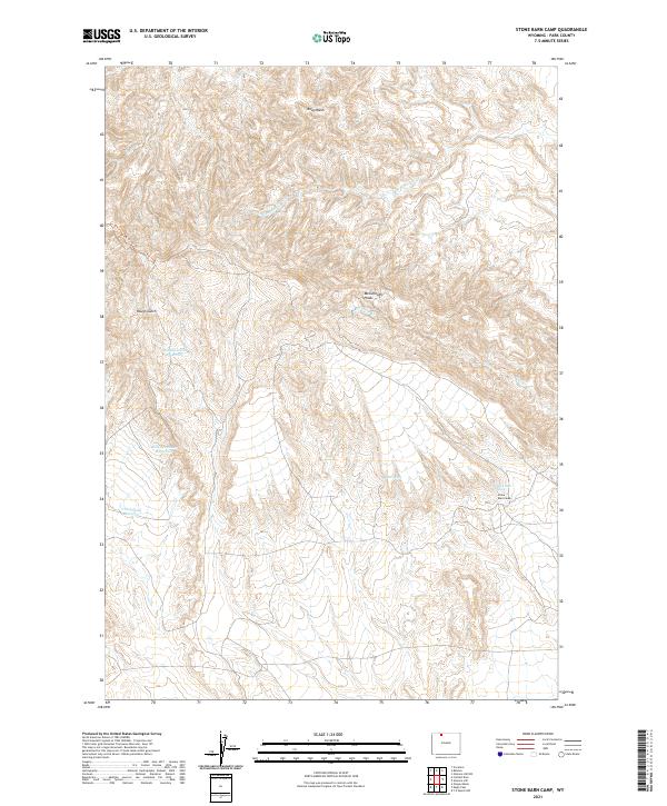
2021 Map of Stone Barn Camp
USGS Topo · Published 2021About this map
McCullough Peaks dominate the center of this terrain, where high-altitude desert topography meets specialized water management for livestock and wildlife. This 2021 study of Park County details a network of named water sources and catchments essential for life in this arid environment, including Stone Barn Spring and Black Spring. These natural seeps are supplemented by several reservoirs with distinctive names, such as Back Scratcher Reservoir, Crazy Quilt Reservoir, and McLean Gulch Reservoir.
Find a feature on this map
20 named features on this map. Tap any name to fly to it.
Don’t see what you’re looking for? This feature index may not catch every label — zoom into the map to look around manually.
Map Details
Editions of this 2021 Stone Barn Camp Map
This is the sole edition of this map. No revisions or reprints were ever made.
Other maps of this area

1911 · Oregon Basin
USGS Topo · 1:62,500

1913 · Oregon Basin
USGS Topo · 1:62,500

1951 · Y U Bench NW
USGS Topo · 1:24,000

1955 · Cody
USGS Topo · 1:250,000

1958 · Cody
USGS Topo · 1:250,000

1962 · Cody
USGS Topo · 1:250,000

1966 · Stone Barn Camp
USGS Topo · 1:24,000

1966 · Gilmore Hill NW
USGS Topo · 1:24,000

1966 · Corbett Dam
USGS Topo · 1:24,000

1966 · Gilmore Hill
USGS Topo · 1:24,000