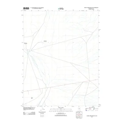
2012 Map of Stone Cabin Ranch NE
USGS Topo · Published 2012About this map
West Stone Cabin Valley and East Stone Cabin Valley converge in this high desert landscape of Nye County. The area is defined by the ephemeral drainage of Willow Creek, which winds through the arid floor between the valley's western and eastern divisions. Aviation history is grounded in the presence of the Moroni Landing Strip in the southwestern quadrant, a remote outpost providing a critical point of access for this isolated terrain. The map illustrates a network of sparse roads and tracks that navigate the flat valley bottom, reflecting the utilitarian infrastructure required for ranching and mineral exploration in the Great Basin. This 2012 survey serves as a record of the enduring, quiet geography of the central Nevada desert, where land use is dictated by the availability of water and the necessity of remote airfield access.
Find a feature on this map
4 named features on this map. Tap any name to fly to it.
Don’t see what you’re looking for? This feature index may not catch every label — zoom into the map to look around manually.
Map Details
Editions of this 2012 Stone Cabin Ranch NE Map
This is the sole edition of this map. No revisions or reprints were ever made.
Other maps of this area

1956 · Tonopah
USGS Topo · 1:250,000

1959 · Tonopah
USGS Topo · 1:250,000

1962 · Tonopah
USGS Topo · 1:250,000

1968 · Tybo
USGS Topo · 1:62,500

1968 · Warm Springs
USGS Topo · 1:62,500
1968 · Warm Springs NW
USGS Topo · 1:24,000
1968 · Bellehelen
USGS Topo · 1:24,000
1968 · Tybo
USGS Topo · 1:24,000
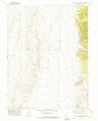
1971 · Georges Canyon Rim SE
USGS Topo · 1:24,000
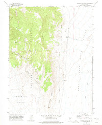
1971 · Georges Canyon Rim
USGS Topo · 1:24,000