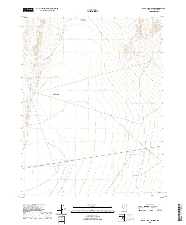
2021 Map of Stone Cabin Ranch NE
USGS Topo · Published 2021About this map
Stone Cabin Valley and its northeastern extension, East Stone Cabin Valley, dominate this High Desert expanse in Nye County. The landscape is defined by the intermittent flow of Willow Cr, which drains southward through a series of wide basins. This 2021 topographic record reveals a quiet corner of the Great Basin where modern road networks follow the historic lines of the Public Land Survey System, specifically crossing townships T5N through T3N and ranges R48E to R49E. The southern portion of the sheet transitions into the open expanse of the Ralston Desert, capturing the transition between these interior valleys and the broader desert floor. This modern survey is an essential reference for understanding the hydrography and land-use boundaries in a region where water sources like Willow Cr are critical to the character of the settlement and terrain.
Find a feature on this map
10 named features on this map. Tap any name to fly to it.
Don’t see what you’re looking for? This feature index may not catch every label — zoom into the map to look around manually.
Map Details
Editions of this 2021 Stone Cabin Ranch NE Map
This is the sole edition of this map. No revisions or reprints were ever made.
Other maps of this area

1956 · Tonopah
USGS Topo · 1:250,000

1959 · Tonopah
USGS Topo · 1:250,000

1962 · Tonopah
USGS Topo · 1:250,000

1968 · Tybo
USGS Topo · 1:62,500

1968 · Warm Springs
USGS Topo · 1:62,500
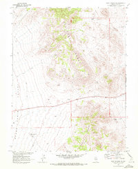
1968 · Warm Springs NW
USGS Topo · 1:24,000
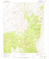
1968 · Bellehelen
USGS Topo · 1:24,000
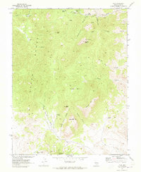
1968 · Tybo
USGS Topo · 1:24,000
1971 · Georges Canyon Rim SE
USGS Topo · 1:24,000
1971 · Georges Canyon Rim
USGS Topo · 1:24,000