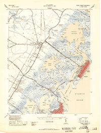
1944 Map of Stone Harbor
USGS Topo · Published 1944About this map
The Pennsylvania Reading Seashore Lines define the transportation corridor of this mid-century survey, linking the interior county seat at Cape May Court House with the thriving coastal resorts. The intricate marshland and maritime geography between the mainland and the barrier islands are exceptionally detailed, showing a complex network of waterways like the Stone Harbor Canal and Great Sound. Notable local landmarks include the Cape May Court House Landing Field (Abandoned) and the Stone Harbor CG Station, which served as critical infrastructure for the region. Genealogists and historians can trace the development of older settlements such as Mayville, Burleigh, and Whitesboro along the inland roads, while the coastal grids of Stone Harbor and North Wildwood reflect the era's growing tourism industry. The map captures a moment before modern development altered much of the shoreline and salt marshes, preserving the location of family sites like Reubens Wharf and the Fairview Mem Cem.
Find a feature on this map
154 named features on this map. Tap any name to fly to it.
Don’t see what you’re looking for? This feature index may not catch every label — zoom into the map to look around manually.
Map Details
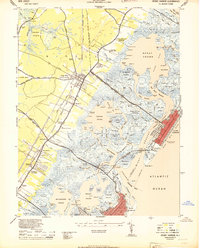
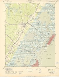
Editions of this 1944 Stone Harbor Map
3 editions found
Other maps of this area

1884 · Sea Isle
USGS Topo · 1:62,500

1888 · Cape May
USGS Topo · 1:62,500

1888 · Dennisville
USGS Topo · 1:62,500

1888 · Sea Isle
USGS Topo · 1:62,500

1893 · Cape May
USGS Topo · 1:62,500

1894 · Dennisville
USGS Topo · 1:62,500

1894 · Sea Isle
USGS Topo · 1:62,500

1898 · Cape May
USGS Topo · 1:62,500

1918 · Cape May
USGS Topo · 1:62,500

1919 · Sea Isle
USGS Topo · 1:62,500