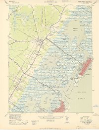
1944 Map of Stone Harbor
USGS Topo · Published 1950About this map
Cape May Court House serves as the inland hub for this coastal survey, where the Pennsylvania Reading Seashore Lines bisects the mainland before reaching the Atlantic barrier islands. The transition from terrestrial settlement to the intricate wetlands of Great Sound is marked by landmarks like the Cape May County Farm and the Fairview Mem Cem. Coastal development is concentrated along Seven Mile Beach, featuring the grid of Stone Harbor and the Bowers Municipal Fishing Pier. The landscape is a maze of tidal channels, including Cresse Thorofare and Old Turtle Reach, which separate the mainland from the barrier beach. Evidence of early aviation and maritime safety is found at the Cape May Court House Landing Field (Abandoned) and the Stone Harbor CG Station, reflecting the area's strategic coastal location during the mid-1940s.
Find a feature on this map
156 named features on this map. Tap any name to fly to it.
Don’t see what you’re looking for? This feature index may not catch every label — zoom into the map to look around manually.
Map Details
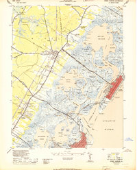
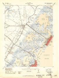
Editions of this 1944 Stone Harbor Map
3 editions found
Other maps of this area

1884 · Sea Isle
USGS Topo · 1:62,500

1888 · Cape May
USGS Topo · 1:62,500

1888 · Dennisville
USGS Topo · 1:62,500

1888 · Sea Isle
USGS Topo · 1:62,500

1893 · Cape May
USGS Topo · 1:62,500

1894 · Dennisville
USGS Topo · 1:62,500

1894 · Sea Isle
USGS Topo · 1:62,500

1898 · Cape May
USGS Topo · 1:62,500

1918 · Cape May
USGS Topo · 1:62,500

1919 · Sea Isle
USGS Topo · 1:62,500