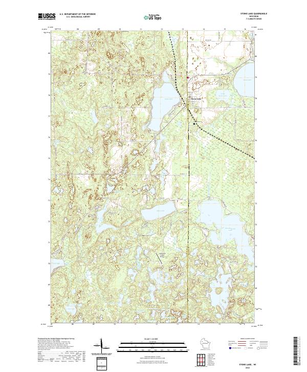
2022 Map of Stone Lake
USGS Topo · Published 2022About this map
Stone Lake serves as the central hub of this northern Wisconsin landscape, where the boundary between Washburn Co and Sawyer Co bisects a dense network of glacial water bodies and wetlands. The settlement at Stone Lake sits at the junction of Co Hwy BB and Co Hwy A, positioned near the historic Evergreen Cem. The map reveals a transition from the village center toward the surrounding woodlands, characterized by diverse water features like Sissabagama Lake and the irregular shoreline of Slim Lake. To the south, the Lakewood Lodge Airport highlights the region's adaptation to recreational travel, while family-named roads such as Metcalf Rd, Wakefield Rd, and Kellner Rd suggest the enduring footprint of local landholders across the lake-strewn terrain.
Find a feature on this map
83 named features on this map. Tap any name to fly to it.
Don’t see what you’re looking for? This feature index may not catch every label — zoom into the map to look around manually.
Map Details
Editions of this 2022 Stone Lake Map
This is the sole edition of this map. No revisions or reprints were ever made.
Other maps of this area

1944 · Couderay
USGS Topo · 1:48,000

1945 · Meteor
USGS Topo · 1:48,000

1948 · Couderay
USGS Topo · 1:48,000

1948 · Stone Lake
USGS Topo · 1:48,000

1949 · Meteor
USGS Topo · 1:48,000

1949 · Rice Lake
USGS Topo · 1:48,000

1950 · Stone Lake
USGS Topo · 1:48,000

1951 · Rice Lake
USGS Topo · 1:48,000

1953 · Rice Lake
USGS Topo · 1:250,000

1959 · Rice Lake
USGS Topo · 1:250,000