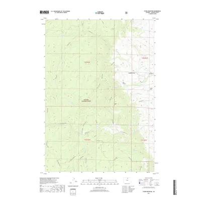
2017 Map of Stone Mountain
USGS Topo · Published 2017About this map
Saddlestring serves as a primary point of reference in this high-elevation landscape of Johnson County, where the plains meet the eastern slopes of the Bighorn National Forest. The map documents a complex network of water management and mountain drainage, featuring the Jim Crow Ditch and Mowry Basin Ditch which divert water through the lower elevations of Mowry Basin. The terrain is defined by dramatic changes in elevation, rising from the Red Canyon floor toward the summit of Stone Mountain.
Find a feature on this map
40 named features on this map. Tap any name to fly to it.
Don’t see what you’re looking for? This feature index may not catch every label — zoom into the map to look around manually.
Map Details
Editions of this 2017 Stone Mountain Map
This is the sole edition of this map. No revisions or reprints were ever made.
Other maps of this area

1895 · Dayton
USGS Topo · 1:125,000

1899 · Cloud peak
USGS Topo · 1:125,000

1900 · Fort McKinney
USGS Topo · 1:125,000

1901 · Cloud Peak
USGS Topo · 1:125,000

1901 · Dayton
USGS Topo · 1:125,000

1903 · Fort McKinney
USGS Topo · 1:125,000

1909 · Sheridan
USGS Topo · 1:125,000

1911 · Sheridan
USGS Topo · 1:125,000

1955 · Sheridan
USGS Topo · 1:250,000

1958 · Sheridan
USGS Topo · 1:250,000