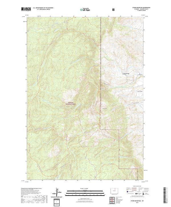
2021 Map of Stone Mountain
USGS Topo · Published 2021About this map
Bighorn National Forest dominates this section of Johnson County, where the eastern slopes of the Big Horn Mountains descend into the high plains. The settlement of Saddlestring sits at the edge of this transition, positioned near the intersection of Rock Creek Rd and the foothills. This landscape is defined by its sophisticated water management systems, including the Jim Crow Ditch and Mowry Basin Ditch, which redirect snowmelt from high-altitude sources like Mowry Cr to support ranching in the lower basins.
Find a feature on this map
42 named features on this map. Tap any name to fly to it.
Don’t see what you’re looking for? This feature index may not catch every label — zoom into the map to look around manually.
Map Details
Editions of this 2021 Stone Mountain Map
This is the sole edition of this map. No revisions or reprints were ever made.
Other maps of this area

1895 · Dayton
USGS Topo · 1:125,000

1899 · Cloud peak
USGS Topo · 1:125,000

1900 · Fort McKinney
USGS Topo · 1:125,000

1901 · Cloud Peak
USGS Topo · 1:125,000

1901 · Dayton
USGS Topo · 1:125,000

1903 · Fort McKinney
USGS Topo · 1:125,000

1909 · Sheridan
USGS Topo · 1:125,000

1911 · Sheridan
USGS Topo · 1:125,000

1955 · Sheridan
USGS Topo · 1:250,000

1958 · Sheridan
USGS Topo · 1:250,000