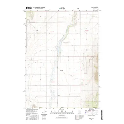
2017 Map of Stone
USGS Topo · Published 2017About this map
Stone sits within the Curlew Valley of southern Oneida County, marking a remote agricultural and ranching landscape near the Idaho-Utah border. The settlement is defined by a grid of rural roads, including Mills Rd and N String Rd, that navigate the flat basin between higher elevations like North Canyon. Central to the area's geography is the Stone Reservoir, which captures the flow of Deep Cr as it traverses the Curlew National Grassland. The map reveals a highly structured township and range system, with section lines and numbered roads like S 22000 W providing a precise record of land division in this high-desert region. This 2017 survey details the contemporary layout of water management and access roads that have sustained this community for generations.
Find a feature on this map
31 named features on this map. Tap any name to fly to it.
Don’t see what you’re looking for? This feature index may not catch every label — zoom into the map to look around manually.
Map Details
Editions of this 2017 Stone Map
This is the sole edition of this map. No revisions or reprints were ever made.
Other maps of this area

1954 · Pocatello
USGS Topo · 1:250,000

1954 · Brigham City
USGS Topo · 1:250,000

1958 · Pocatello
USGS Topo · 1:250,000

1958 · Brigham City
USGS Topo · 1:250,000

1962 · Brigham City
USGS Topo · 1:250,000

1968 · Rattlesnake Pass
USGS Topo · 1:24,000

1968 · Snowville
USGS Topo · 1:24,000

1968 · Monument Peak NE
USGS Topo · 1:24,000

1973 · The Cove
USGS Topo · 1:24,000
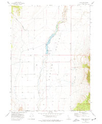
1973 · Stone
USGS Topo · 1:24,000