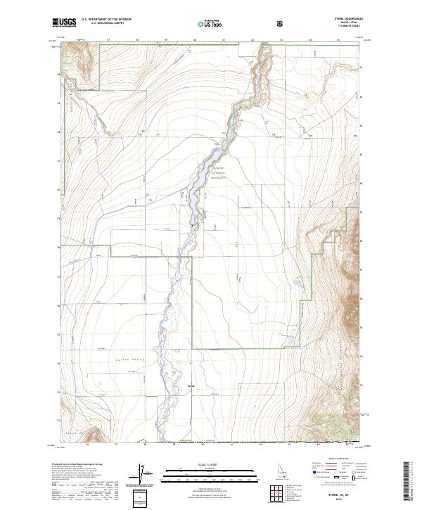
2023 Map of Stone
USGS Topo · Published 2023About this map
Stone serves as the central settlement point in this southern Idaho landscape, positioned where the Curlew Valley meets the rising terrain of the Stone Hills. The area is defined by the winding course of Deep Creek, which flows through the heart of the Curlew National Grassland. This survey illustrates a rural intersection of agriculture and conservation, where established local routes like Black Pine Rd and Mills Rd provide access to the surrounding uplands. The terrain transitions sharply from the valley floor to the prominent ridges of the Sublett Range in the northwest and the North Hansel Mountains to the east. The map captures the distinct grid of township and range boundaries, such as t16s r32e, highlighting how late-modern land management and ranching roads like S Neal Scott Rd define the character of Oneida County.
Find a feature on this map
18 named features on this map. Tap any name to fly to it.
Don’t see what you’re looking for? This feature index may not catch every label — zoom into the map to look around manually.
Map Details
Editions of this 2023 Stone Map
This is the sole edition of this map. No revisions or reprints were ever made.
Other maps of this area

1954 · Pocatello
USGS Topo · 1:250,000

1954 · Brigham City
USGS Topo · 1:250,000

1958 · Pocatello
USGS Topo · 1:250,000

1958 · Brigham City
USGS Topo · 1:250,000

1962 · Brigham City
USGS Topo · 1:250,000

1968 · Rattlesnake Pass
USGS Topo · 1:24,000

1968 · Snowville
USGS Topo · 1:24,000

1968 · Monument Peak NE
USGS Topo · 1:24,000

1973 · The Cove
USGS Topo · 1:24,000
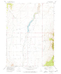
1973 · Stone
USGS Topo · 1:24,000