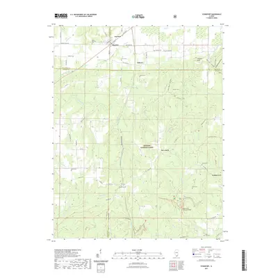
1961 Map of Stonefort
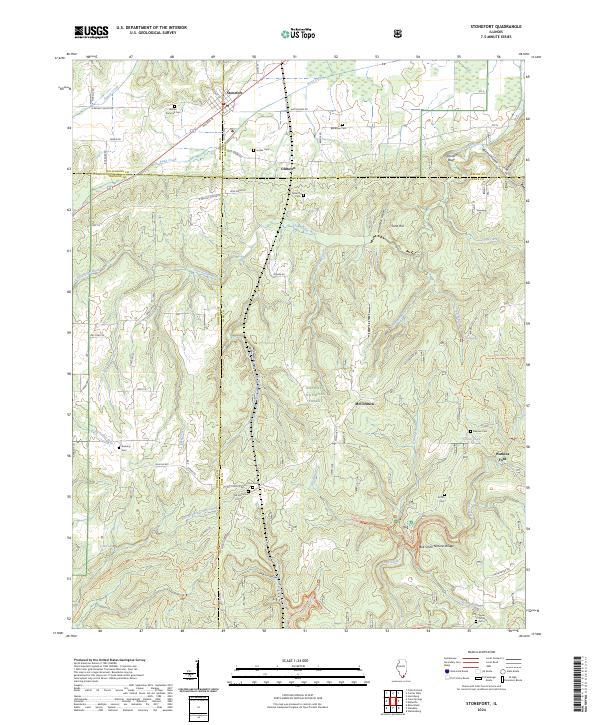
USGS Topo · Published 1974About this map
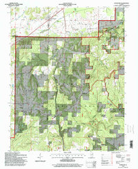
Stonefort and the surrounding woodlands of the Shawnee National Forest define this landscape in the early 1960s. The map captures a complex rail network where the New York Central and Illinois Central lines converge near the village, reflecting the area's history as a transportation hub for Saline and Williamson counties. To the south, the terrain becomes increasingly intricate as the Little Saline River and Bay Creek wind through deep hollows such as Jackson Hollow and Katy Reid Hollow. Local life is anchored by numerous country churches and cemeteries, including Walnut Grove Ch, Little Saline Ch, and the Bozarth Cem. Notable landmarks like the McCormick Lookout Tower and Burden Falls highlight the rugged topography of the Burnside and Simpson areas, while the Bell Smith Springs Scenic Area marks a significant natural point of interest in the southern reaches.
Find a feature on this map
58 named features on this map. Tap any name to fly to it.
Don’t see what you’re looking for? This feature index may not catch every label — zoom into the map to look around manually.
Map Details
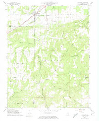
Editions of this 1961 Stonefort Map
2 editions found
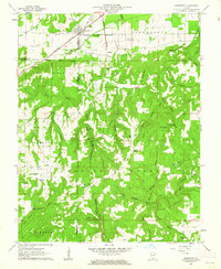
Historical Maps of Stonefort Through Time
7 maps found