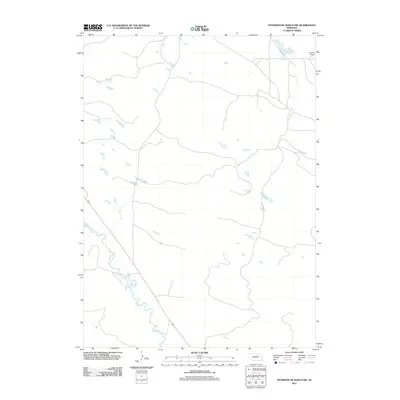
2011 Map of Stonehouse Ranch SW
USGS Topo · Published 2011About this map
The Calamus River meanders through the southwestern portion of this Nebraska landscape, defining the primary drainage pattern for an area characterized by isolated water pockets and subtle terrain variations. In the northeastern corner, the open expanse of Gracie Flats suggests the typical ranching and grazing land found in Loup County during the early twenty-first century. This topographic study, produced by the U.S. Geological Survey, records the sparse road network and scattered hydrology of the Sandhills region just before the implementation of updated geospatial standards. The map captures a quiet, rural interior where the river remains the most significant natural landmark amidst a series of unnamed ponds and marshes.
Find a feature on this map
2 named features on this map. Tap any name to fly to it.
Don’t see what you’re looking for? This feature index may not catch every label — zoom into the map to look around manually.
Map Details
Editions of this 2011 Stonehouse Ranch SW Map
This is the sole edition of this map. No revisions or reprints were ever made.
Other maps of this area

1952 · Taylor NW
USGS Topo · 1:24,000

1952 · Almeria NE
USGS Topo · 1:24,000

1952 · Taylor NE
USGS Topo · 1:24,000

1955 · Broken Bow
USGS Topo · 1:250,000

1955 · O'Neill
USGS Topo · 1:250,000

1956 · Broken Bow
USGS Topo · 1:250,000

1959 · O'Neill
USGS Topo · 1:250,000

1969 · O'Neill
USGS Topo · 1:250,000

1981 · Stonehouse Ranch NW
USGS Topo · 1:24,000

1981 · Stonehouse Ranch NE
USGS Topo · 1:24,000