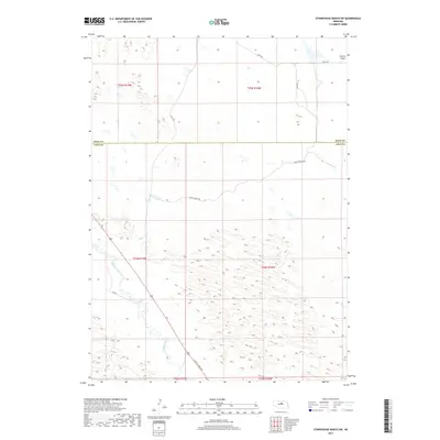
2017 Map of Stonehouse Ranch SW
USGS Topo · Published 2017About this map
The Calamus River meanders through the southwestern reaches of this Nebraska landscape, cutting through a terrain characterized by the expansive Gracie Flats. Located on the border between Rock and Loup counties, the area is defined by its rural grid of section lines and local thoroughfares. Roads such as Gracie Creek Ave and 451st Ave provide the primary access through this sparsely populated ranch land. The topography reveals the intricate drainage patterns and wetland pockets typical of the Sandhills region, where the river's path is the central geographic feature. This 2017 survey illustrates the intersection of agricultural land management and the natural hydrology of the Nebraska plains.
Find a feature on this map
14 named features on this map. Tap any name to fly to it.
Don’t see what you’re looking for? This feature index may not catch every label — zoom into the map to look around manually.
Map Details
Editions of this 2017 Stonehouse Ranch SW Map
This is the sole edition of this map. No revisions or reprints were ever made.
Other maps of this area

1952 · Taylor NW
USGS Topo · 1:24,000

1952 · Almeria NE
USGS Topo · 1:24,000

1952 · Taylor NE
USGS Topo · 1:24,000

1955 · Broken Bow
USGS Topo · 1:250,000

1955 · O'Neill
USGS Topo · 1:250,000

1956 · Broken Bow
USGS Topo · 1:250,000

1959 · O'Neill
USGS Topo · 1:250,000

1969 · O'Neill
USGS Topo · 1:250,000

1981 · Stonehouse Ranch NW
USGS Topo · 1:24,000

1981 · Stonehouse Ranch NE
USGS Topo · 1:24,000