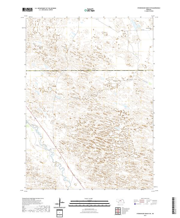
2021 Map of Stonehouse Ranch SW
USGS Topo · Published 2021About this map
The Calamus River meanders through a landscape defined by expansive sandhill formations and wide valley flats along the border of Rock Co Loup Co. In this part of the Nebraska Sandhills, the terrain is shaped by stabilized dunes, where the river valley provides a natural corridor for the Calamus River Trl. The geography here is sparse, characterized by broad grazing lands like Gracie Flats in the northeast and a systematic grid of section roads that navigate the complex topography. Transportation is limited to functional rural routes such as Gracie Creek Ave and 848th Rd, which serve the remote ranches and grazing operations that have long defined the economy and settlement patterns of the Nebraska interior.
Find a feature on this map
15 named features on this map. Tap any name to fly to it.
Don’t see what you’re looking for? This feature index may not catch every label — zoom into the map to look around manually.
Map Details
Editions of this 2021 Stonehouse Ranch SW Map
This is the sole edition of this map. No revisions or reprints were ever made.
Other maps of this area

1952 · Taylor NW
USGS Topo · 1:24,000

1952 · Almeria NE
USGS Topo · 1:24,000

1952 · Taylor NE
USGS Topo · 1:24,000

1955 · Broken Bow
USGS Topo · 1:250,000

1955 · O'Neill
USGS Topo · 1:250,000

1956 · Broken Bow
USGS Topo · 1:250,000

1959 · O'Neill
USGS Topo · 1:250,000

1969 · O'Neill
USGS Topo · 1:250,000

1981 · Stonehouse Ranch NW
USGS Topo · 1:24,000

1981 · Stonehouse Ranch NE
USGS Topo · 1:24,000