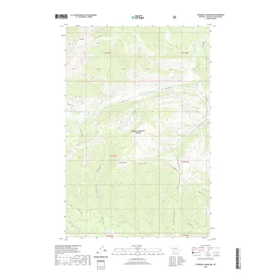
2020 Map of Stonewall Mountain
USGS Topo · Published 2020About this map
Helena National Forest dominates this high-elevation landscape, where the peaks of Red Mtn and Stonewall Mtn define the drainage patterns of the upper Big Blackfoot River basin. The terrain is marked by a network of drainage systems including Copper Cr, Snowbank Cr, and Theodore Cr, which feed into the area's larger hydrological network. This 2020 USGS survey reveals a landscape primarily managed for conservation and recreation, evidenced by the absence of permanent settlements and the prevalence of primitive transportation routes.
Find a feature on this map
39 named features on this map. Tap any name to fly to it.
Don’t see what you’re looking for? This feature index may not catch every label — zoom into the map to look around manually.
Map Details
Editions of this 2020 Stonewall Mountain Map
This is the sole edition of this map. No revisions or reprints were ever made.
Other maps of this area

1889 · Helena
USGS Topo · 1:250,000

1893 · Helena
USGS Topo · 1:250,000

1899 · Helena
USGS Topo · 1:250,000

1903 · Coopers Lake
USGS Topo · 1:125,000

1903 · Helena
USGS Topo · 1:250,000

1947 · Butte
USGS Topo · 1:250,000

1955 · Choteau
USGS Topo · 1:250,000

1957 · Choteau
USGS Topo · 1:250,000

1958 · Butte
USGS Topo · 1:250,000

1958 · Choteau
USGS Topo · 1:250,000