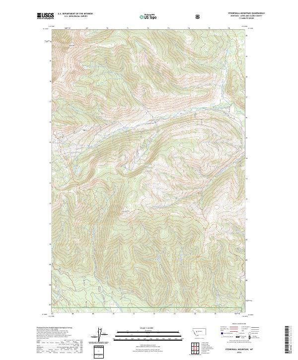
2024 Map of Stonewall Mountain
USGS Topo · Published 2024About this map
Scapegoat Wilderness and Helena National Forest converge in this high-altitude landscape of Lewis and Clark County, where the topography is defined by the steep rises of Red Mtn and Stonewall Mtn. This environment is shaped by a dense network of drainages, including the headwaters of Copper Creek and the meandering Snowbank Creek. The map documents a primitive transportation network consisting of forest service roads and established trails that follow the natural contours of the drainages, such as the Stonewall Mountain Trl and the Theodore Creek Trl.
Find a feature on this map
31 named features on this map. Tap any name to fly to it.
Don’t see what you’re looking for? This feature index may not catch every label — zoom into the map to look around manually.
Map Details
Editions of this 2024 Stonewall Mountain Map
This is the sole edition of this map. No revisions or reprints were ever made.
Other maps of this area

1889 · Helena
USGS Topo · 1:250,000

1893 · Helena
USGS Topo · 1:250,000

1899 · Helena
USGS Topo · 1:250,000

1903 · Coopers Lake
USGS Topo · 1:125,000

1903 · Helena
USGS Topo · 1:250,000

1947 · Butte
USGS Topo · 1:250,000

1955 · Choteau
USGS Topo · 1:250,000

1957 · Choteau
USGS Topo · 1:250,000

1958 · Butte
USGS Topo · 1:250,000

1958 · Choteau
USGS Topo · 1:250,000