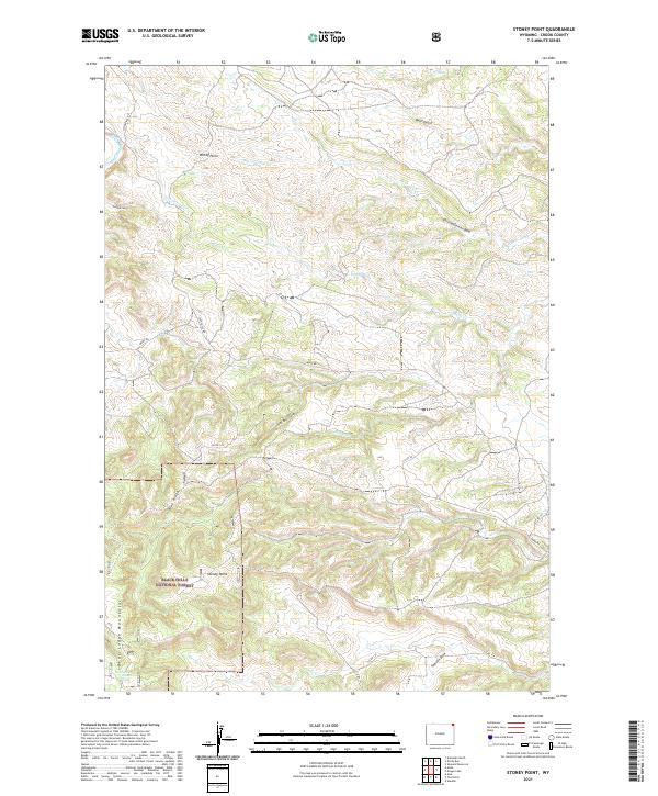
2021 Map of Stoney Point
USGS Topo · Published 2021About this map
The Black Hills National Forest landscape in Crook County is defined by the high elevations of the Bear Lodge Mountains, where sharp ridges and deep gulches create a complex drainage network. Prominent landmarks such as Stoney Point and Windy Point provide geographic anchors above the winding courses of Bear Gulch and Gimmestad Cr. The terrain reveals a pattern of rural land use where isolated water sources like North Pine Creek Spring and small-scale infrastructure like Christofferson Dam are essential to the high-country environment. A sparse network of county roads, including Stoneville Rd and Mona Rd, threads through the valleys, connecting the various draws and gulches. The transition between the wooded forest lands and the open range is marked by topographic features such as Blue Ridge and the Sand Draw, illustrating the classic Wyoming high-plains and mountain interface.
Find a feature on this map
27 named features on this map. Tap any name to fly to it.
Don’t see what you’re looking for? This feature index may not catch every label — zoom into the map to look around manually.
Map Details
Editions of this 2021 Stoney Point Map
This is the sole edition of this map. No revisions or reprints were ever made.
Other maps of this area

1901 · Aladdin
USGS Topo · 1:125,000

1903 · Aladdin
USGS Topo · 1:125,000

1954 · Gillette
USGS Topo · 1:250,000

1955 · Gillette
USGS Topo · 1:250,000

1957 · Mona
USGS Topo · 1:62,500

1957 · Colony
USGS Topo · 1:62,500

1958 · Gillette
USGS Topo · 1:250,000

1958 · Beulah
USGS Topo · 1:62,500

1962 · Gillette
USGS Topo · 1:250,000
1979 · Devils Tower
USGS Topo · 1:100,000