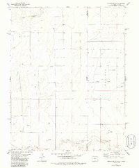
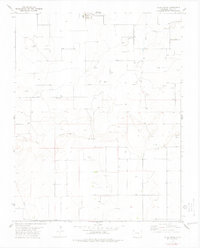
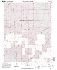
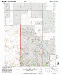
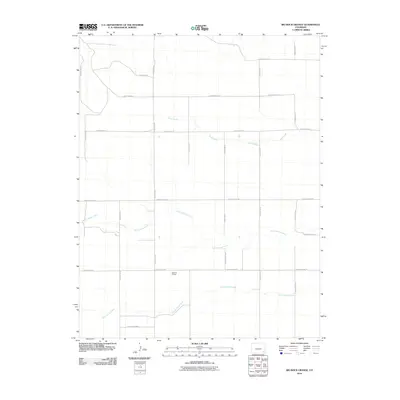
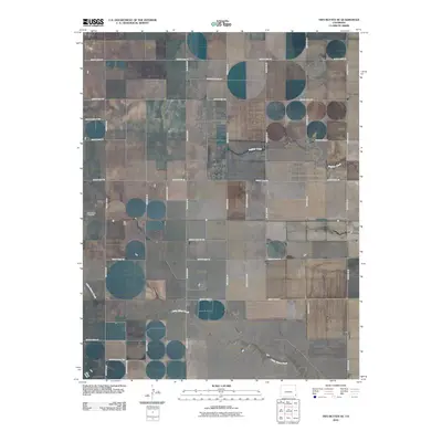
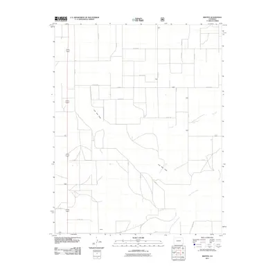
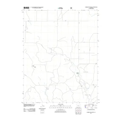
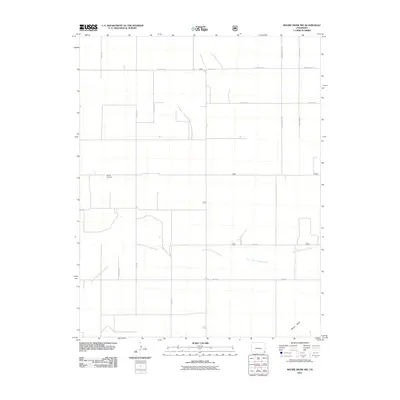
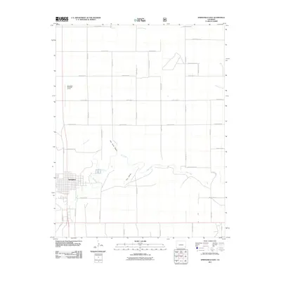
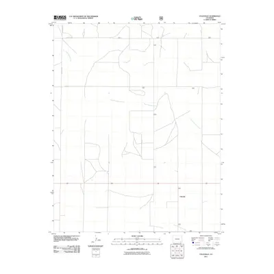
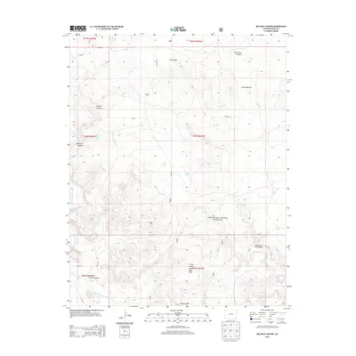
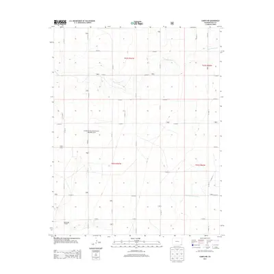
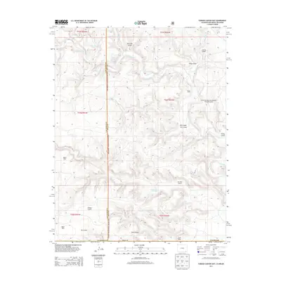
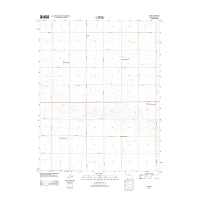
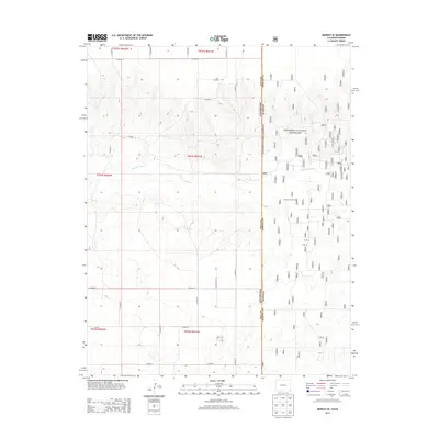
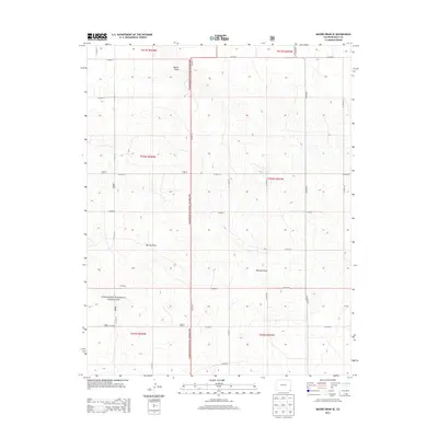
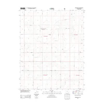
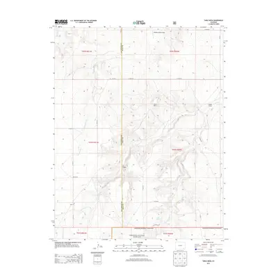
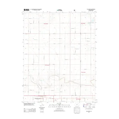
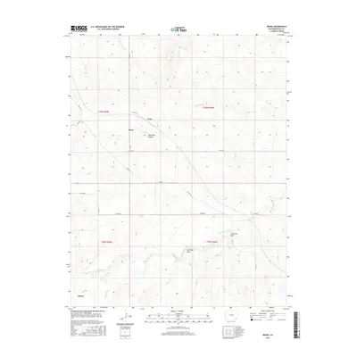
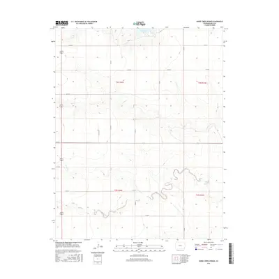
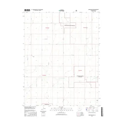
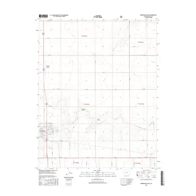
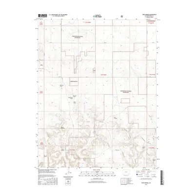
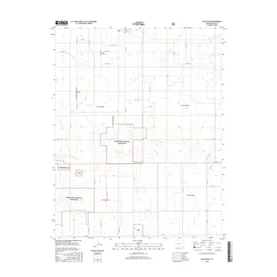
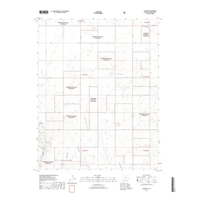
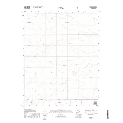
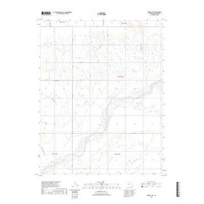
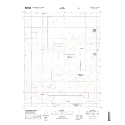
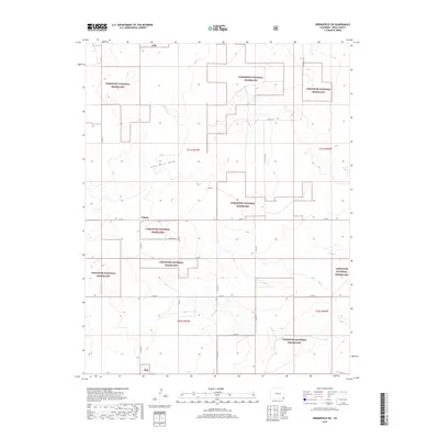
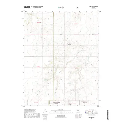
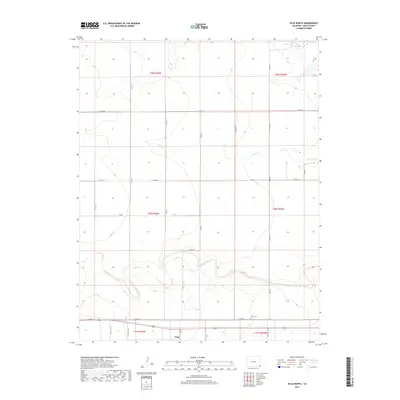
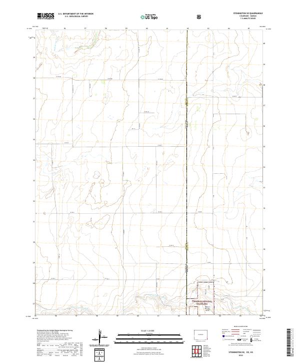
1978 Map of Stonington SE
USGS Topo · Published 1979About this map
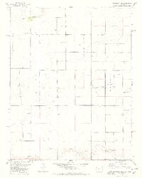
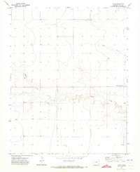
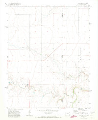
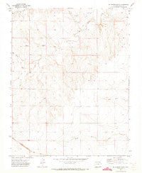
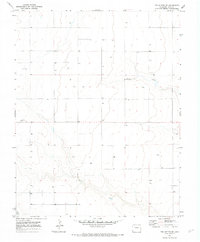
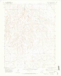
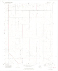
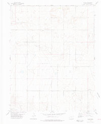
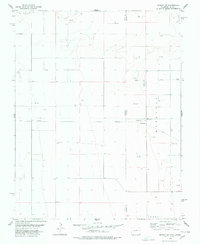
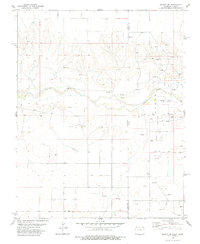
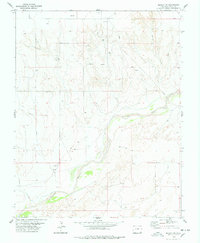
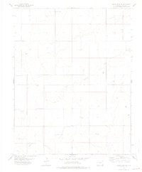
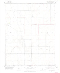
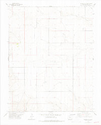
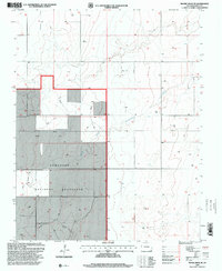
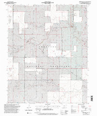
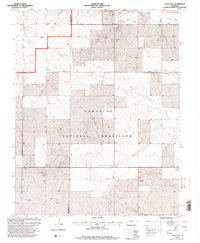
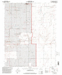
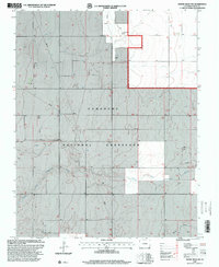
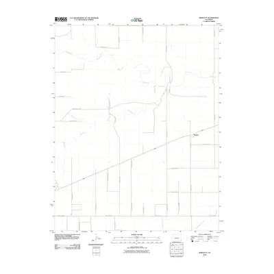
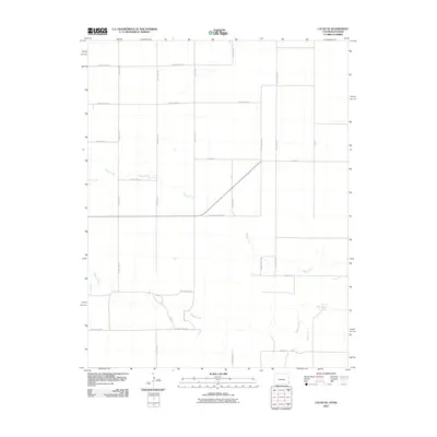
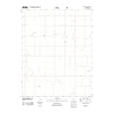
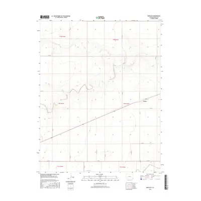
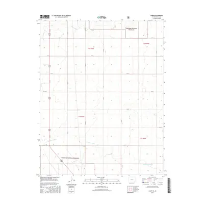
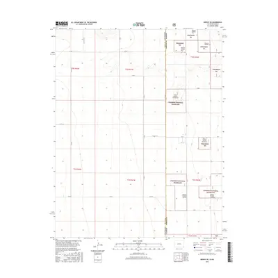
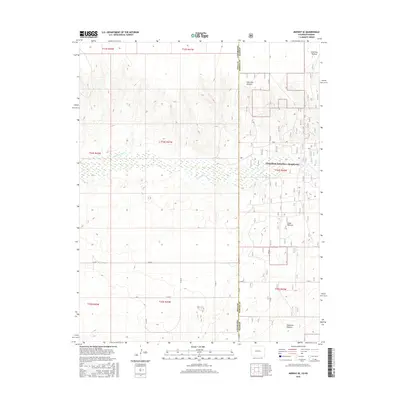
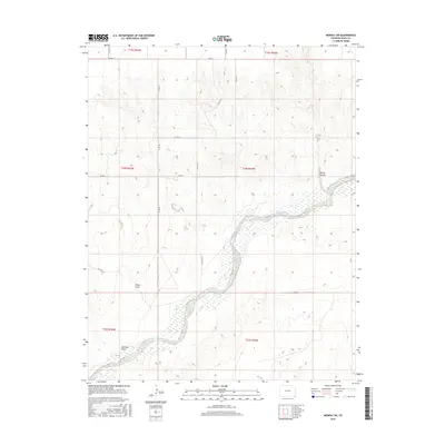
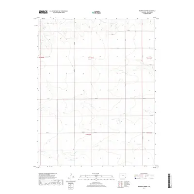
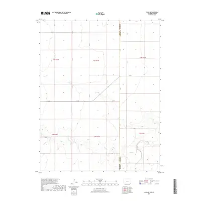
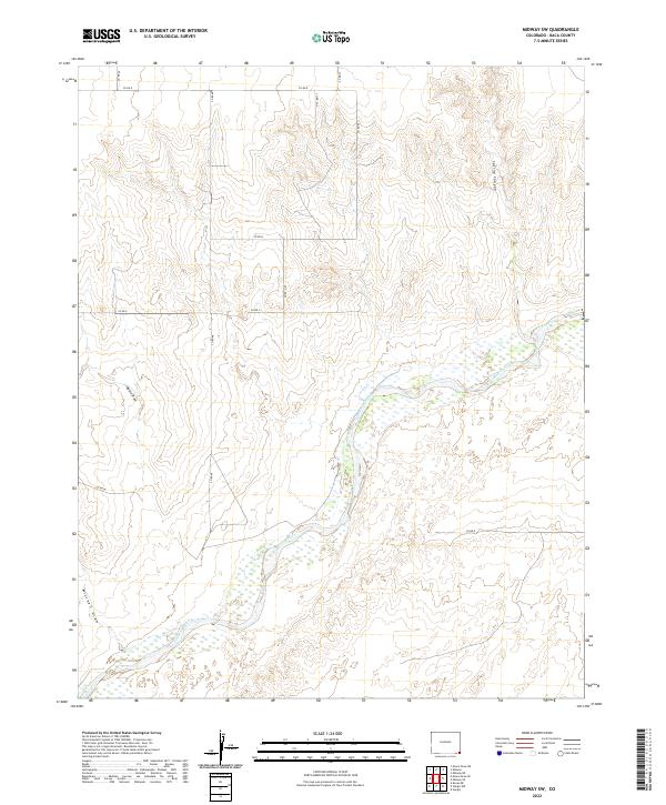
The North Fork Cimarron River winds through the southern reaches of this landscape, marking a significant hydrological feature on the high plains near the border of Baca Co and Morton Co. This 1978 survey highlights the industrial expansion of the era, documented by numerous extractive sites including the Gas Well in section 18 and several Oil Wells concentrated in the southeastern corner. The topography is further defined by the Sand Arroyo in the northwest and the flat expanse known as Westola. Landowners and researchers can trace the meticulous grid of section lines and property boundaries that cross the Colorado Kansas state line, revealing a rural economy shifting toward energy production while maintaining its traditional agricultural character.
Find a feature on this map
9 named features on this map. Tap any name to fly to it.
Don’t see what you’re looking for? This feature index may not catch every label — zoom into the map to look around manually.
Map Details
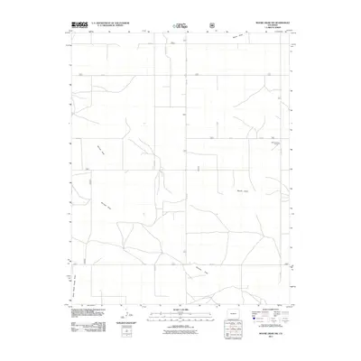
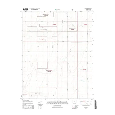
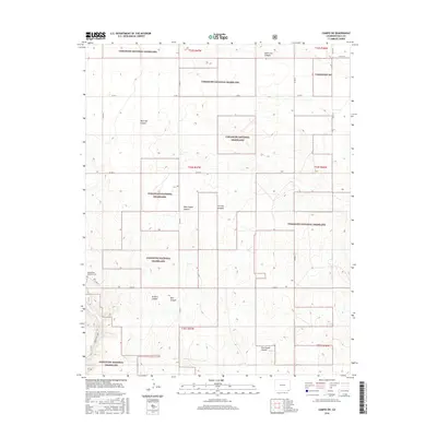
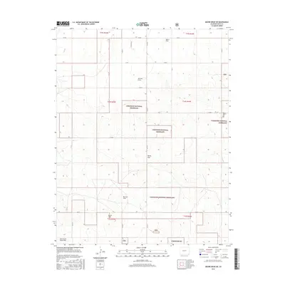
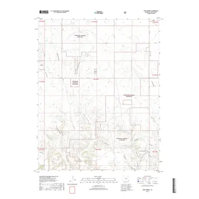
Editions of this 1978 Stonington SE Map
2 editions found
Historical Maps of Morton County Through Time
260 maps found
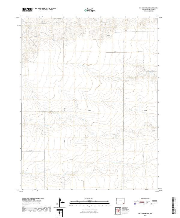
1971 Big Rock Grange
Baca County, CO
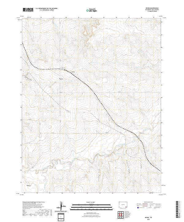
1971 Deora
Baca County, CO
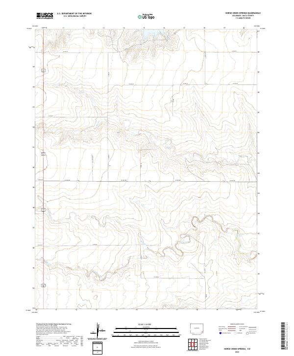
1971 Horse Creek Springs
Baca County, CO
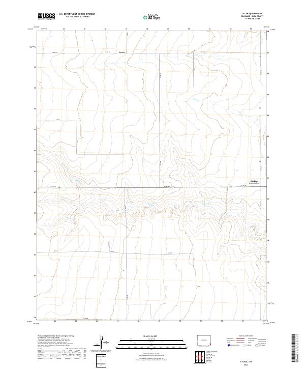
1971 Lycan
Baca County, CO
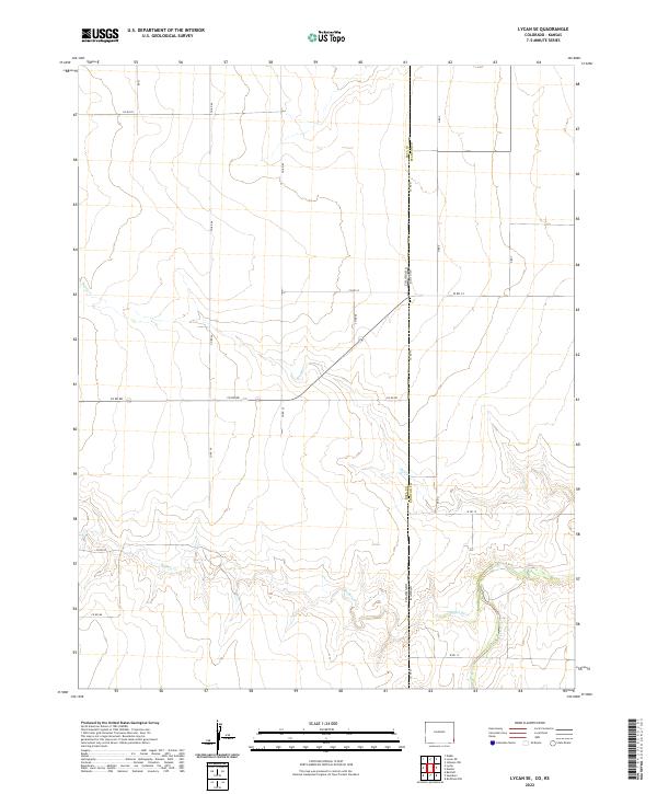
1971 Lycan SE
Baca County, CO
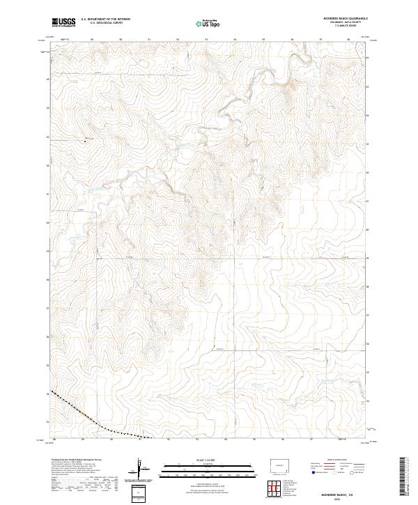
1971 Mc Endree Ranch
Baca County, CO
1971 Two Buttes SE
Baca County, CO
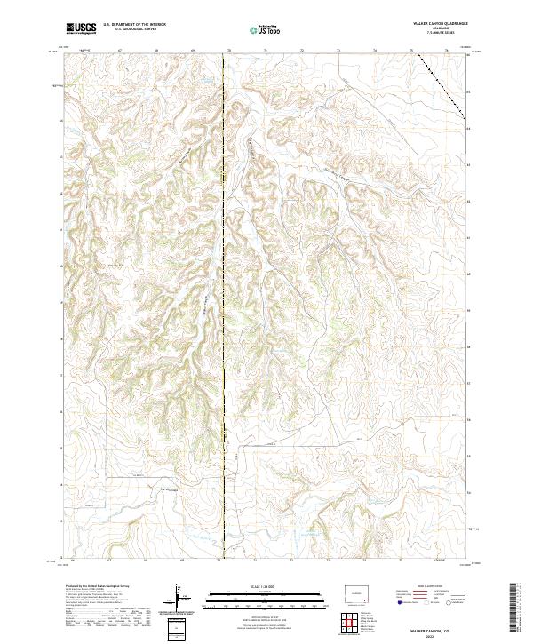
1971 Walker Canyon
Baca County, CO
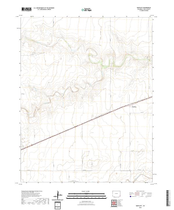
1978 Bartlett
Baca County, CO
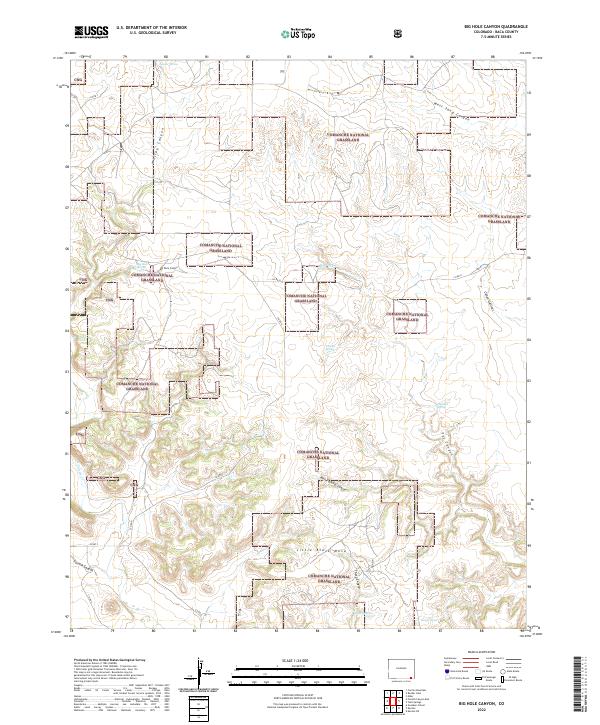
1978 Big Hole Canyon
Baca County, CO
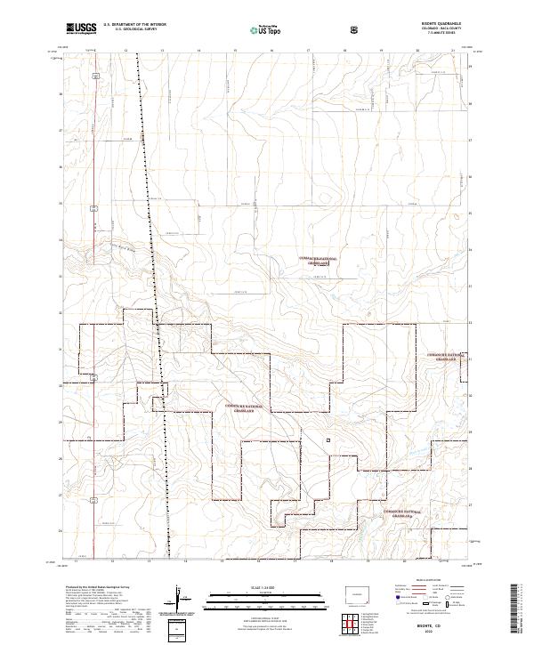
1978 Bisonte
Baca County, CO
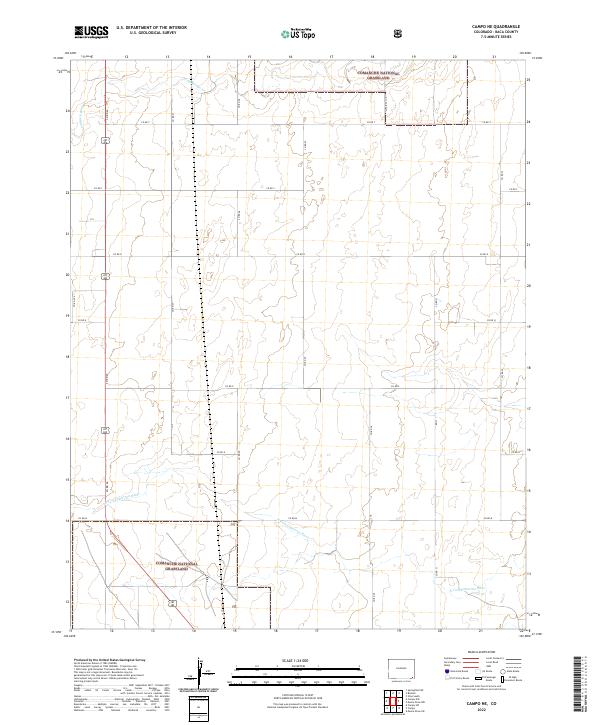
1978 Campo NE
Baca County, CO
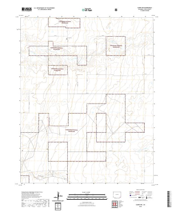
1978 Campo NW
Baca County, CO
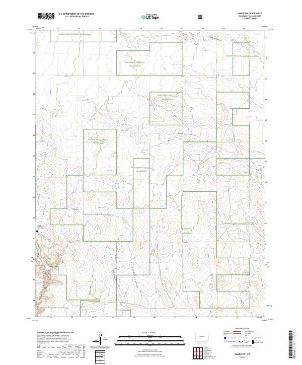
1978 Campo SW
Baca County, CO
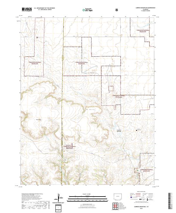
1978 Carrizo Mountain
Baca County, CO
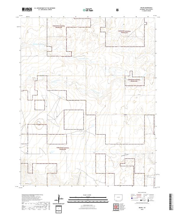
1978 Edler
Baca County, CO
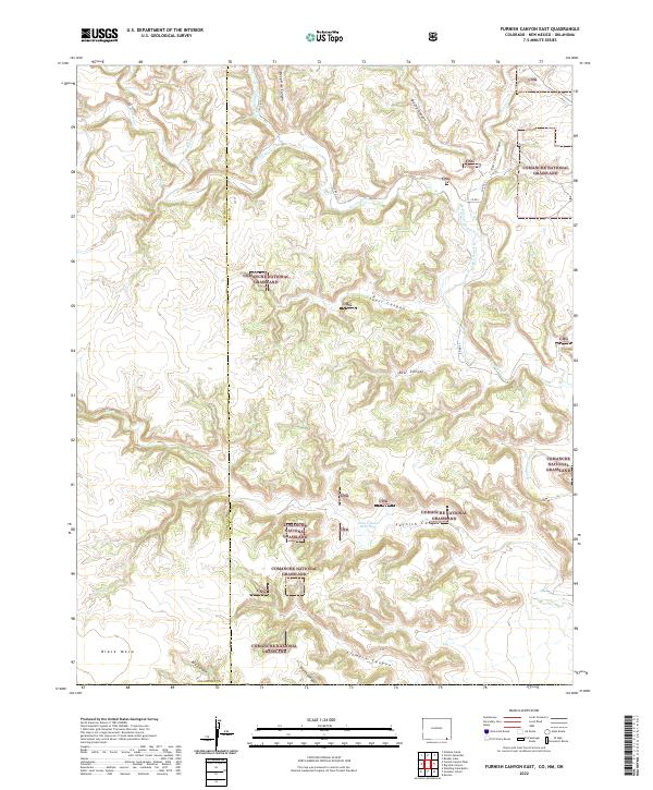
1978 Furnish Canyon East
Baca County, CO
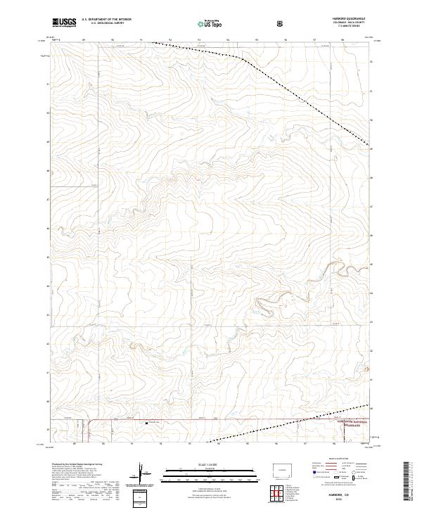
1978 Harbord
Baca County, CO
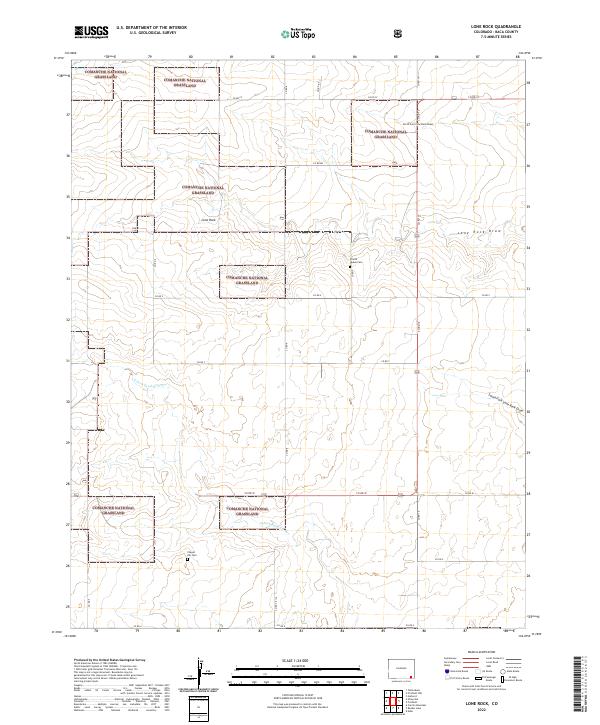
1978 Lone Rock
Baca County, CO

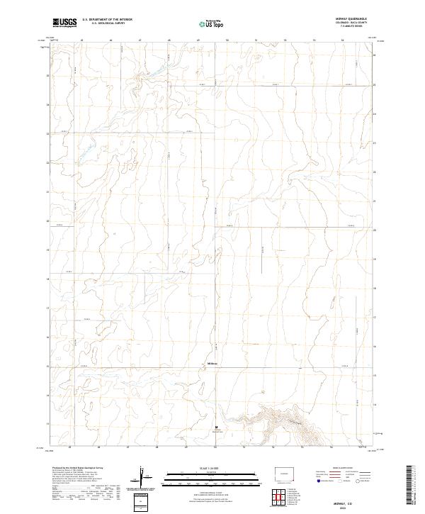
1978 Midway
Baca County, CO
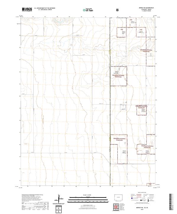
1978 Midway NE
Baca County, CO
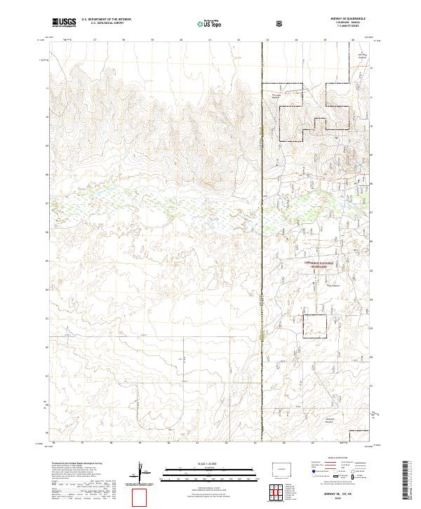
1978 Midway SE
Baca County, CO
1978 Midway SW
Baca County, CO
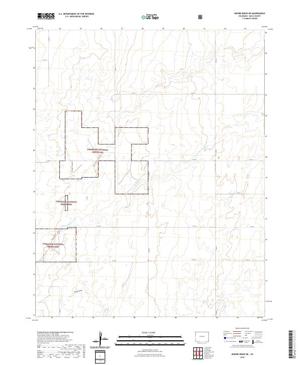
1978 Moore Draw NE
Baca County, CO
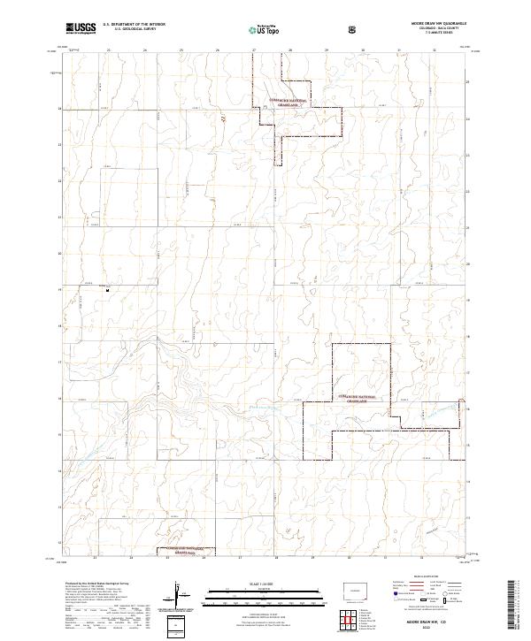
1978 Moore Draw NW
Baca County, CO
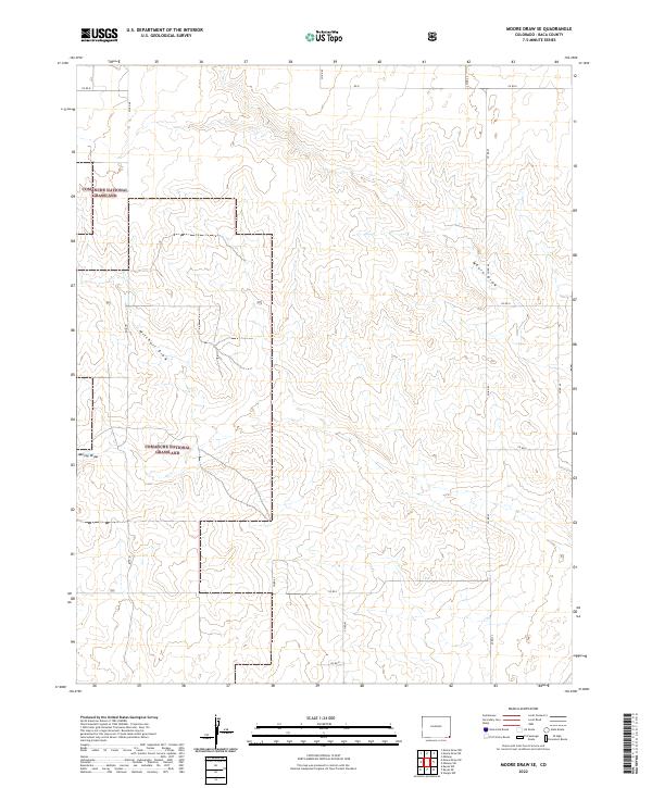
1978 Moore Draw SE
Baca County, CO
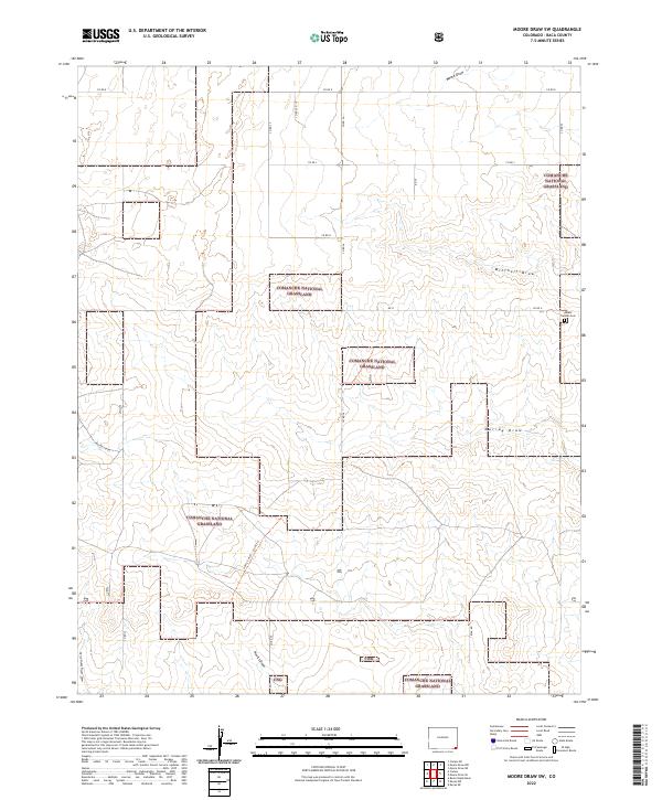
1978 Moore Draw SW
Baca County, CO
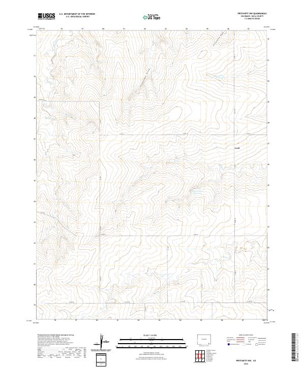
1978 Pritchett NW
Baca County, CO
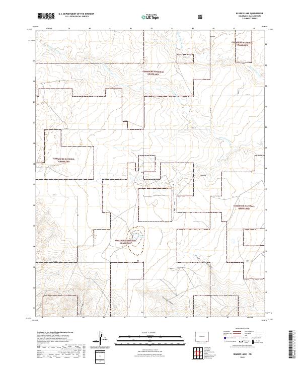
1978 Reader Lake
Baca County, CO
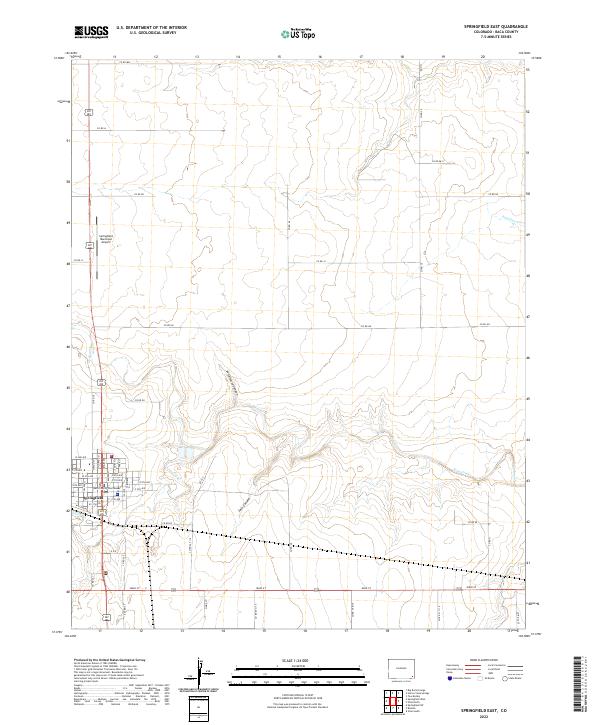
1978 Springfield East
Baca County, CO
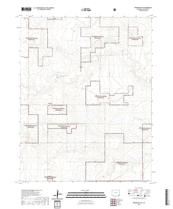
1978 Springfield SW
Baca County, CO

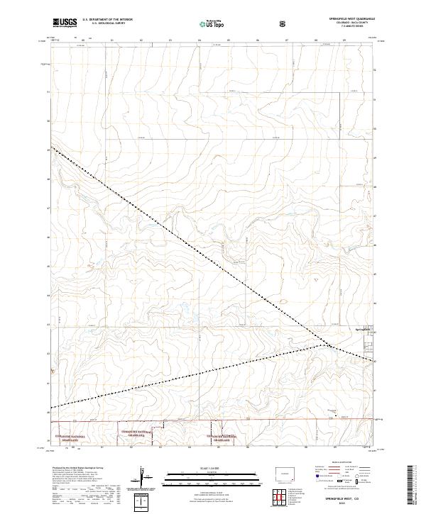
1978 Springfield West
Baca County, CO
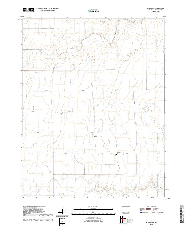
1978 Stonington
Baca County, CO
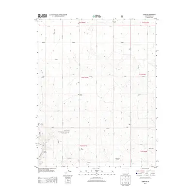
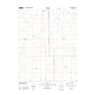
1978 Stonington SE
Baca County, CO
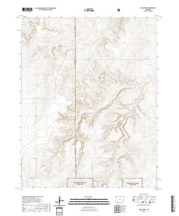
1978 Table Mesa
Baca County, CO
1978 Utleyville
Baca County, CO
1978 Vilas North
Baca County, CO
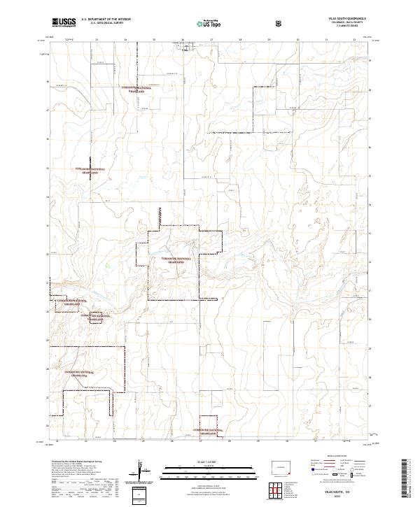
1978 Vilas South
Baca County, CO
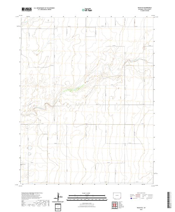
1978 Walsh SE
Baca County, CO
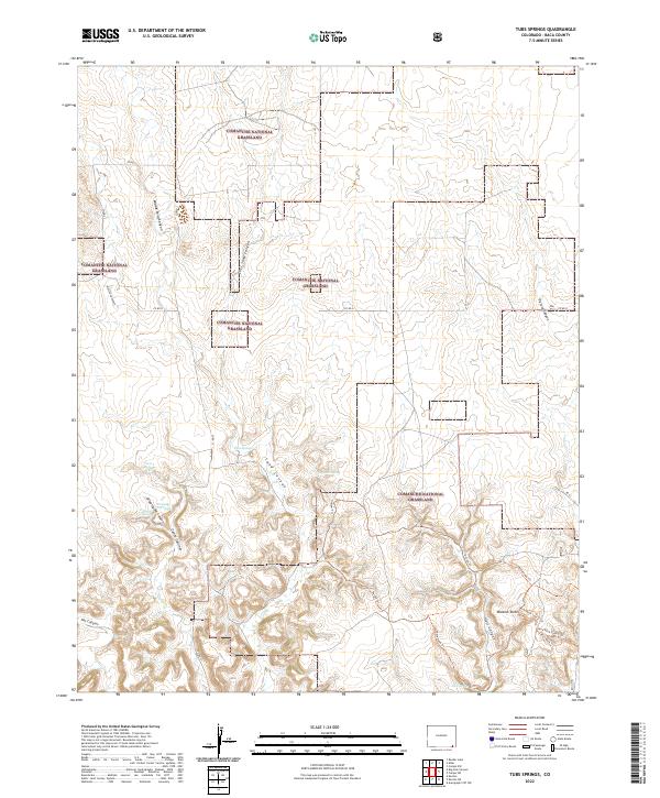
1979 Tubs Springs
Baca County, CO
1996 Big Hole Canyon
Baca County, CO
1996 Bisonte
Baca County, CO
1996 Campo NE
Baca County, CO
1996 Campo NW
Baca County, CO
1996 Campo SW
Baca County, CO
1996 Carrizo Mountain
Baca County, CO
1996 Edler
Baca County, CO
1996 Furnish Canyon East
Baca County, CO
1996 Lone Rock
Baca County, CO
1996 Moore Draw NE
Baca County, CO
1996 Moore Draw SE
Baca County, CO
1996 Moore Draw SW
Baca County, CO
1996 Reader Lake
Baca County, CO
1996 Springfield SW
Baca County, CO
1996 Springfield West
Baca County, CO
1996 Table Mesa
Baca County, CO
1996 Tubs Springs
Baca County, CO
1996 Utleyville
Baca County, CO
1996 Vilas South
Baca County, CO
1997 Moore Draw NW
Baca County, CO
2010 Bartlett
Baca County, CO
2010 Big Rock Grange
Baca County, CO
2010 Deora
Baca County, CO
2010 Horse Creek Springs
Baca County, CO
2010 Lycan
Baca County, CO
2010 Lycan SE
Baca County, CO
2010 McEndree Ranch
Baca County, CO

2010 Midway
Baca County, CO
2010 Midway SW
Baca County, CO
2010 Stonington
Baca County, CO
2010 Two Buttes SE
Baca County, CO
2010 Walker Canyon
Baca County, CO
2010 Walsh SE
Baca County, CO
2011 Big Hole Canyon
Baca County, CO
2011 Bisonte
Baca County, CO
2011 Campo NE
Baca County, CO
2011 Campo NW
Baca County, CO
2011 Campo SW
Baca County, CO
2011 Carrizo Mountain
Baca County, CO
2011 Edler
Baca County, CO
2011 Furnish Canyon East
Baca County, CO
2011 Harbord
Baca County, CO
2011 Lone Rock
Baca County, CO
2011 Midway NE
Baca County, CO
2011 Midway SE
Baca County, CO
2011 Moore Draw NE
Baca County, CO
2011 Moore Draw NW
Baca County, CO

2011 Moore Draw SE
Baca County, CO
2011 Moore Draw SW
Baca County, CO
2011 Pritchett NW
Baca County, CO
2011 Reader Lake
Baca County, CO
2011 Springfield East
Baca County, CO

2011 Springfield SW
Baca County, CO

2011 Springfield West
Baca County, CO
2011 Stonington SE
Baca County, CO
2011 Table Mesa
Baca County, CO
2011 Tubs Springs
Baca County, CO
2011 Utleyville
Baca County, CO
2011 Vilas North
Baca County, CO
2011 Vilas South
Baca County, CO
2013 Bartlett
Baca County, CO
2013 Big Hole Canyon
Baca County, CO
2013 Big Rock Grange
Baca County, CO
2013 Bisonte
Baca County, CO
2013 Campo NE
Baca County, CO
2013 Campo NW
Baca County, CO
2013 Campo SW
Baca County, CO
2013 Carrizo Mountain
Baca County, CO
2013 Deora
Baca County, CO

2013 Edler
Baca County, CO
2013 Furnish Canyon East
Baca County, CO
2013 Harbord
Baca County, CO
2013 Horse Creek Springs
Baca County, CO
2013 Lone Rock
Baca County, CO
2013 Lycan
Baca County, CO
2013 Lycan SE
Baca County, CO
2013 McEndree Ranch
Baca County, CO

2013 Midway
Baca County, CO
2013 Midway NE
Baca County, CO
2013 Midway SE
Baca County, CO
2013 Midway SW
Baca County, CO
2013 Moore Draw NE
Baca County, CO
2013 Moore Draw NW
Baca County, CO
2013 Moore Draw SE
Baca County, CO

2013 Moore Draw SW
Baca County, CO
2013 Pritchett NW
Baca County, CO
2013 Reader Lake
Baca County, CO
2013 Springfield East
Baca County, CO
2013 Springfield SW
Baca County, CO
2013 Springfield West
Baca County, CO
2013 Stonington
Baca County, CO
2013 Stonington SE
Baca County, CO
2013 Table Mesa
Baca County, CO
2013 Tubs Springs
Baca County, CO
2013 Two Buttes SE
Baca County, CO
2013 Utleyville
Baca County, CO
2013 Vilas North
Baca County, CO
2013 Vilas South
Baca County, CO
2013 Walker Canyon
Baca County, CO
2013 Walsh SE
Baca County, CO
2016 Bartlett
Baca County, CO
2016 Big Hole Canyon
Baca County, CO
2016 Big Rock Grange
Baca County, CO
2016 Bisonte
Baca County, CO
2016 Campo NE
Baca County, CO
2016 Campo NW
Baca County, CO
2016 Campo SW
Baca County, CO
2016 Carrizo Mountain
Baca County, CO
2016 Deora
Baca County, CO
2016 Edler
Baca County, CO
2016 Furnish Canyon East
Baca County, CO
2016 Harbord
Baca County, CO
2016 Horse Creek Springs
Baca County, CO

2016 Lone Rock
Baca County, CO
2016 Lycan
Baca County, CO
2016 Lycan SE
Baca County, CO

2016 McEndree Ranch
Baca County, CO
2016 Midway
Baca County, CO
2016 Midway NE
Baca County, CO
2016 Midway SE
Baca County, CO
2016 Midway SW
Baca County, CO
2016 Moore Draw NE
Baca County, CO
2016 Moore Draw NW
Baca County, CO

2016 Moore Draw SE
Baca County, CO
2016 Moore Draw SW
Baca County, CO
2016 Pritchett NW
Baca County, CO
2016 Reader Lake
Baca County, CO
2016 Springfield East
Baca County, CO

2016 Springfield SW
Baca County, CO

2016 Springfield West
Baca County, CO
2016 Stonington
Baca County, CO
2016 Stonington SE
Baca County, CO
2016 Table Mesa
Baca County, CO
2016 Tubs Springs
Baca County, CO
2016 Two Buttes SE
Baca County, CO
2016 Utleyville
Baca County, CO
2016 Vilas North
Baca County, CO
2016 Vilas South
Baca County, CO

2016 Walker Canyon
Baca County, CO
2016 Walsh SE
Baca County, CO
2019 Bartlett
Baca County, CO
2019 Big Hole Canyon
Baca County, CO
2019 Big Rock Grange
Baca County, CO
2019 Bisonte
Baca County, CO
2019 Campo NE
Baca County, CO
2019 Campo NW
Baca County, CO
2019 Campo SW
Baca County, CO
2019 Carrizo Mountain
Baca County, CO
2019 Deora
Baca County, CO

2019 Edler
Baca County, CO
2019 Furnish Canyon East
Baca County, CO
2019 Harbord
Baca County, CO
2019 Horse Creek Springs
Baca County, CO
2019 Lone Rock
Baca County, CO
2019 Lycan
Baca County, CO
2019 Lycan SE
Baca County, CO
2019 McEndree Ranch
Baca County, CO

2019 Midway
Baca County, CO
2019 Midway NE
Baca County, CO
2019 Midway SE
Baca County, CO
2019 Midway SW
Baca County, CO
2019 Moore Draw NE
Baca County, CO
2019 Moore Draw NW
Baca County, CO
2019 Moore Draw SE
Baca County, CO
2019 Moore Draw SW
Baca County, CO
2019 Pritchett NW
Baca County, CO
2019 Reader Lake
Baca County, CO
2019 Springfield East
Baca County, CO
2019 Springfield SW
Baca County, CO
2019 Springfield West
Baca County, CO
2019 Stonington
Baca County, CO
2019 Stonington SE
Baca County, CO
2019 Table Mesa
Baca County, CO
2019 Tubs Springs
Baca County, CO
2019 Two Buttes SE
Baca County, CO
2019 Utleyville
Baca County, CO
2019 Vilas North
Baca County, CO
2019 Vilas South
Baca County, CO
2019 Walker Canyon
Baca County, CO
2019 Walsh SE
Baca County, CO
2022 Bartlett
Baca County, CO
2022 Big Hole Canyon
Baca County, CO
2022 Big Rock Grange
Baca County, CO
2022 Bisonte
Baca County, CO
2022 Campo NE
Baca County, CO
2022 Campo NW
Baca County, CO
2022 Carrizo Mountain
Baca County, CO
2022 Deora
Baca County, CO
2022 Edler
Baca County, CO
2022 Furnish Canyon East
Baca County, CO
2022 Harbord
Baca County, CO
2022 Horse Creek Springs
Baca County, CO
2022 Lone Rock
Baca County, CO
2022 Lycan
Baca County, CO
2022 Lycan SE
Baca County, CO
2022 McEndree Ranch
Baca County, CO
2022 Midway
Baca County, CO
2022 Midway NE
Baca County, CO
2022 Midway SE
Baca County, CO
2022 Midway SW
Baca County, CO
2022 Moore Draw NE
Baca County, CO
2022 Moore Draw NW
Baca County, CO
2022 Moore Draw SE
Baca County, CO
2022 Moore Draw SW
Baca County, CO
2022 Pritchett NW
Baca County, CO
2022 Reader Lake
Baca County, CO
2022 Springfield East
Baca County, CO
2022 Springfield SW
Baca County, CO
2022 Springfield West
Baca County, CO
2022 Stonington
Baca County, CO
2022 Stonington SE
Baca County, CO
2022 Table Mesa
Baca County, CO
2022 Tubs Springs
Baca County, CO
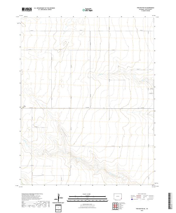
2022 Two Buttes SE
Baca County, CO
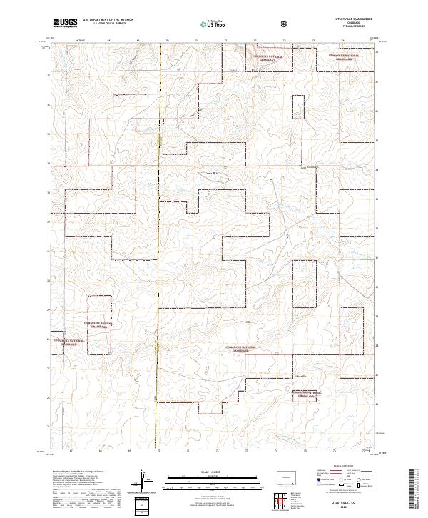
2022 Utleyville
Baca County, CO
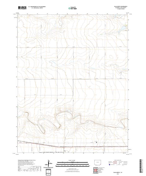
2022 Vilas North
Baca County, CO
2022 Vilas South
Baca County, CO
2022 Walker Canyon
Baca County, CO
2022 Walsh SE
Baca County, CO
2023 Campo SW
Baca County, CO