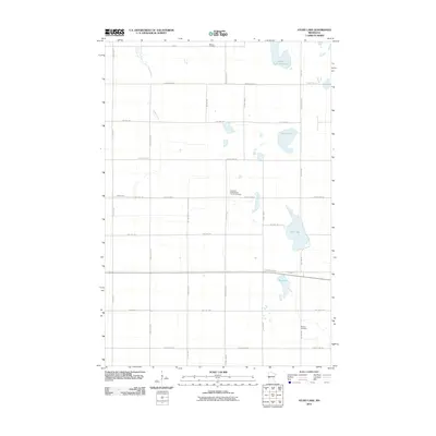
2010 Map of Stony Lake
USGS Topo · Published 2010About this map
Western Cemetery and the surrounding township terrain define this portion of Otter Tail County in the early 21st century. The landscape is characterized by a high density of small water bodies and glacial depressions typical of the region, including Stony Lake, Upper Lightning Lake, and Ash Lake. The Rabbit River meanders across the northwestern section, while a grid of rural routes like County Hwy-7 and County Hwy-26 connects scattered homesteads and agricultural tracts. For genealogists and local historians, the map provides precise locations for several burial sites that anchor the community's history, most notably the Lawrence Presbyterian Church Cemetery and Hereford Cemetery. The layout of these roads and property boundaries reflects a long-established section-line system that has dictated land use in this part of Minnesota for generations.
Find a feature on this map
29 named features on this map. Tap any name to fly to it.
Don’t see what you’re looking for? This feature index may not catch every label — zoom into the map to look around manually.
Map Details
Editions of this 2010 Stony Lake Map
This is the sole edition of this map. No revisions or reprints were ever made.
Other maps of this area

1910 · Wendell
USGS Topo · 1:62,500

1911 · Herman
USGS Topo · 1:62,500

1913 · Wendell
USGS Topo · 1:62,500

1951 · Wheaton
USGS Topo · 1:62,500

1951 · Campbell
USGS Topo · 1:62,500

1953 · Milbank
USGS Topo · 1:250,000

1953 · Fargo
USGS Topo · 1:250,000

1956 · Fargo
USGS Topo · 1:250,000

1958 · Milbank
USGS Topo · 1:250,000

1973 · Herman NW
USGS Topo · 1:24,000