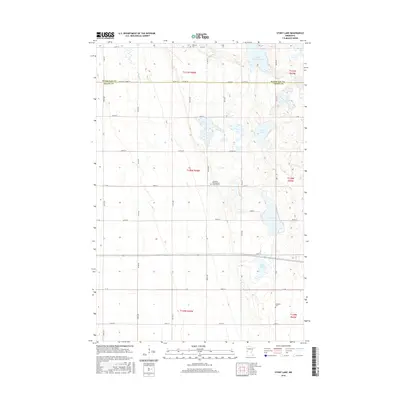
2016 Map of Stony Lake
USGS Topo · Published 2016About this map
Western Church Cem and Lawrence Presbyterian Church Cem anchor the social landscape of this agricultural region on the border of Otter Tail and Grant counties. The terrain is defined by a dense network of glacial wetlands and water bodies, most notably the central Stony Lake and the meandering Rabbit River to the west. The map reveals a strict sectional grid of township roads, including Co Hwy 7 and Co Rd 26, which coordinate the movement of goods and people across the prairie. Small family and community landmarks like Hereford Cem provide specific points of interest for genealogists tracing local lineage in this corner of Minnesota. The concentration of lakes such as Upper Lightning Lake and Ash Lake suggests a landscape where water management and seasonal shifts have long dictated the patterns of rural life and land use.
Find a feature on this map
35 named features on this map. Tap any name to fly to it.
Don’t see what you’re looking for? This feature index may not catch every label — zoom into the map to look around manually.
Map Details
Editions of this 2016 Stony Lake Map
This is the sole edition of this map. No revisions or reprints were ever made.
Other maps of this area

1910 · Wendell
USGS Topo · 1:62,500

1911 · Herman
USGS Topo · 1:62,500

1913 · Wendell
USGS Topo · 1:62,500

1951 · Wheaton
USGS Topo · 1:62,500

1951 · Campbell
USGS Topo · 1:62,500

1953 · Milbank
USGS Topo · 1:250,000

1953 · Fargo
USGS Topo · 1:250,000

1956 · Fargo
USGS Topo · 1:250,000

1958 · Milbank
USGS Topo · 1:250,000

1973 · Herman NW
USGS Topo · 1:24,000