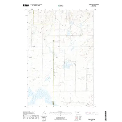
2017 Map of Stony Slough
USGS Topo · Published 2017About this map
Stony Slough dominates the southern landscape of this prairie region, sitting at the junction of Burleigh and Kidder Counties. This area of central North Dakota is characterized by a high density of wetlands and small water bodies scattered across the terrain. The map captures a strictly rural environment, defined by the rigid grid of the Public Land Survey System, with townships such as t140n r75w and t141n r74w demarcating the space.
Find a feature on this map
24 named features on this map. Tap any name to fly to it.
Don’t see what you’re looking for? This feature index may not catch every label — zoom into the map to look around manually.
Map Details
Editions of this 2017 Stony Slough Map
This is the sole edition of this map. No revisions or reprints were ever made.
Other maps of this area

1951 · Driscoll
USGS Topo · 1:62,500

1952 · Steele
USGS Topo · 1:24,000

1952 · Steele NW
USGS Topo · 1:24,000

1952 · New Rockford
USGS Topo · 1:250,000

1953 · Jamestown
USGS Topo · 1:250,000

1954 · Bismarck
USGS Topo · 1:250,000

1954 · McClusky
USGS Topo · 1:250,000

1956 · New Rockford
USGS Topo · 1:250,000

1956 · Jamestown
USGS Topo · 1:250,000

1958 · Bismarck
USGS Topo · 1:250,000