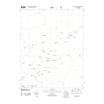
2011 Map of Storm King Peak
USGS Topo · Published 2011About this map
The Needle Mountains and Grenadier Range dominate this high-altitude landscape, where numerous peaks over 13,000 feet are identified simply by number, such as Needle Mountains Peak One through Needle Mountains Peak Nine. This 2011 survey documents a concentrated pocket of historic mining activity near Hunchback Pass, featuring the Little May Mine, Gold Bug Mine, Golden Shear Group Mine, and Good Hope Mine. This mining cluster suggests early 20th-century exploration near the headwaters of Bear Creek. The terrain is characterized by alpine hydrology, with dozens of high-elevation water bodies like Vallecito Lake, Leviathan Lake, and Balsam Lake feeding complex drainage systems including Vallecito Creek and Tenmile Creek. Prominent landmarks such as The Guardian and Gray Needle serve as distinct navigational points within this complex topography.
Find a feature on this map
69 named features on this map. Tap any name to fly to it.
Don’t see what you’re looking for? This feature index may not catch every label — zoom into the map to look around manually.
Map Details
Editions of this 2011 Storm King Peak Map
This is the sole edition of this map. No revisions or reprints were ever made.
Other maps of this area

1897 · Silverton
USGS Topo · 1:62,500

1900 · Needle Mountains
USGS Topo · 1:62,500

1901 · Silverton
USGS Topo · 1:62,500

1902 · Needle Mountains
USGS Topo · 1:62,500

1902 · Silverton
USGS Topo · 1:62,500

1905 · San Cristobal
USGS Topo · 1:125,000

1907 · San Cristobal
USGS Topo · 1:125,000

1945 · Durango
USGS Topo · 1:250,000

1953 · Durango
USGS Topo · 1:250,000

1954 · Durango
USGS Topo · 1:250,000