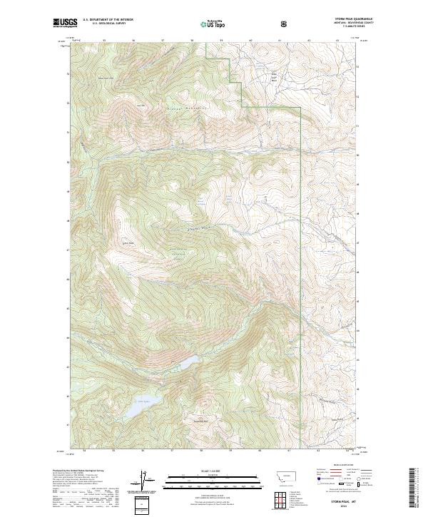
2024 Map of Storm Peak
USGS Topo · Published 2024About this map
The high ridges of the Pioneer Mountains dominate this 2024 map within the Beaverhead National Forest. This section of Beaverhead County is defined by prominent peaks including Storm Peak, Beals Mtn, and Sugarloaf Mtn, creating a watershed that feeds numerous drainage systems. These alpine heights transition into deep basins and gulches, such as Louie Lowe Basin and Dark Hole, where seasonal springs like Lelow Basin Spring Number Two and Upper Browns Gulch Spring provide vital water sources in an otherwise high-elevation landscape.
Find a feature on this map
32 named features on this map. Tap any name to fly to it.
Don’t see what you’re looking for? This feature index may not catch every label — zoom into the map to look around manually.
Map Details
Editions of this 2024 Storm Peak Map
This is the sole edition of this map. No revisions or reprints were ever made.
Other maps of this area

1893 · Dillon
USGS Topo · 1:250,000

1952 · Twin Adams Mountain
USGS Topo · 1:24,000

1952 · Torrey Mountain
USGS Topo · 1:24,000

1955 · Dillon
USGS Topo · 1:250,000

1957 · Dillon
USGS Topo · 1:250,000

1958 · Dillon
USGS Topo · 1:250,000

1958 · Vipond Park
USGS Topo · 1:62,500

1960 · Glen
USGS Topo · 1:24,000

1961 · Melrose
USGS Topo · 1:24,000

1961 · Earls Gulch
USGS Topo · 1:24,000