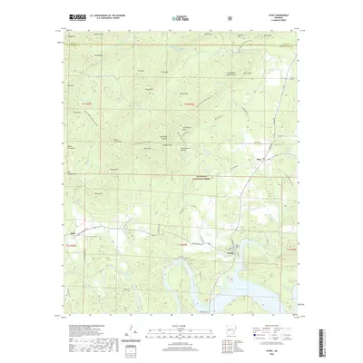
2020 Map of Story
USGS Topo · Published 2020About this map
Washita and the northern reaches of Lake Ouachita anchor the southern portion of this landscape, situated within the Ouachita National Forest. The map documents a rugged interior of the Ouachita Mountains, where the terrain is defined by a dense succession of named peaks like Chalybeate Mtn, Thorpe Mtn, and Rainy Mtn. The settlement of Story sits at the intersection of local routes, surrounded by a complex network of drainages including Qualls Cr and Story Cr.
Find a feature on this map
73 named features on this map. Tap any name to fly to it.
Don’t see what you’re looking for? This feature index may not catch every label — zoom into the map to look around manually.
Map Details
Editions of this 2020 Story Map
This is the sole edition of this map. No revisions or reprints were ever made.
Other maps of this area

1890 · Mount Ida
USGS Topo · 1:125,000

1890 · Hot Springs
USGS Topo · 1:125,000

1894 · Hot Springs
USGS Topo · 1:125,000

1955 · Little Rock
USGS Topo · 1:250,000

1956 · Little Rock
USGS Topo · 1:250,000

1959 · Mount Ida
USGS Topo · 1:62,500

1960 · Little Rock
USGS Topo · 1:250,000

1960 · Gravelly
USGS Topo · 1:62,500

1962 · Fannie
USGS Topo · 1:24,000

1962 · Mc Graw Mountain
USGS Topo · 1:24,000