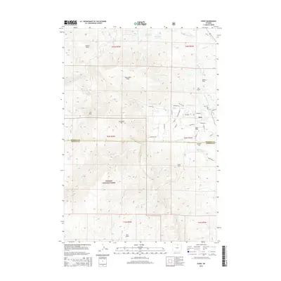
2015 Map of Story
USGS Topo · Published 2015About this map
Story sits at the foot of the eastern slope where the foothills meet the Bighorn National Forest, an area defined by complex water management and high-country terrain. This 2015 survey reveals an intricate network of irrigation and water control features including the Meade-Coffeen Ditch, Prairie Dog Kruse Ditch, and Big Piney Divide Ditch, which redirect snowmelt from the peaks to the lower ranchlands. Significant reservoirs like Mountain Reservoir and Moncreiffe Reservoir are positioned along the ridges to secure the local water supply. High points such as Moncreiffe Ridge, Grandmas Mtn, and Sullivant Hill provide a dramatic backdrop to the residential layout of Story, where local roads like Wagon Box Rd and Mountain Home Rd navigate the uneven geography of the Sheridan and Johnson county line.
Find a feature on this map
57 named features on this map. Tap any name to fly to it.
Don’t see what you’re looking for? This feature index may not catch every label — zoom into the map to look around manually.
Map Details
Editions of this 2015 Story Map
This is the sole edition of this map. No revisions or reprints were ever made.
Other maps of this area

1895 · Dayton
USGS Topo · 1:125,000

1899 · Cloud peak
USGS Topo · 1:125,000

1900 · Fort McKinney
USGS Topo · 1:125,000

1901 · Cloud Peak
USGS Topo · 1:125,000

1901 · Dayton
USGS Topo · 1:125,000

1903 · Fort McKinney
USGS Topo · 1:125,000

1909 · Sheridan
USGS Topo · 1:125,000

1911 · Sheridan
USGS Topo · 1:125,000

1955 · Sheridan
USGS Topo · 1:250,000

1958 · Sheridan
USGS Topo · 1:250,000