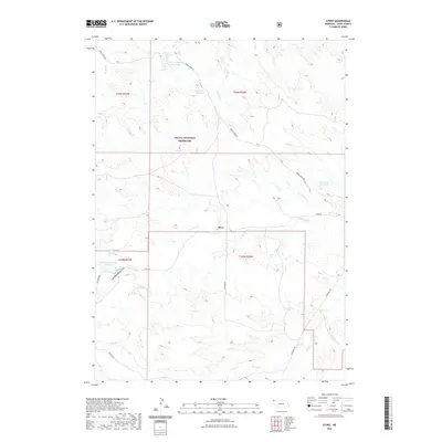
2021 Map of Story
USGS Topo · Published 2021About this map
The Oglala National Grassland dominates this portion of Sioux County, where the high plains landscape is defined by a sparse network of ranch roads and essential water catchments. The small settlement of Story serves as a central point along Story Rd, situated near the confluence of local drainages like N Antelope Cr and S Antelope Cr. This area illustrates the critical role of water management in Nebraska's arid panhandle, with numerous man-made features such as Anderson Reservoir, Wallace Reservoir, and Schnurr Reservoir Number 2 dotting the drainages.
Find a feature on this map
20 named features on this map. Tap any name to fly to it.
Don’t see what you’re looking for? This feature index may not catch every label — zoom into the map to look around manually.
Map Details
Editions of this 2021 Story Map
This is the sole edition of this map. No revisions or reprints were ever made.
Other maps of this area
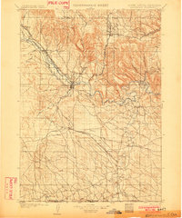
1902 · Edgemont
USGS Topo · 1:125,000
1954 · Torrington
USGS Topo · 1:250,000
1955 · Hot Springs
USGS Topo · 1:250,000
1955 · Newcastle
USGS Topo · 1:250,000
1955 · Alliance
USGS Topo · 1:250,000
1957 · Alliance
USGS Topo · 1:250,000
1958 · Torrington
USGS Topo · 1:250,000
1958 · Alliance
USGS Topo · 1:250,000
1958 · Newcastle
USGS Topo · 1:250,000
1978 · Oat Creek
USGS Topo · 1:24,000