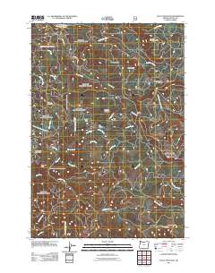
2011 Map of Stott Mountain
USGS Topo · Published 2011About this map
Stott Mountain stands as the central peak in this heavily wooded section of the Northern Oregon Coast Range. The landscape is defined by its complex drainage systems, where the North Fork Siletz River and its numerous tributaries like Gravel Creek and Sampson Creek carve through the terrain. Human presence is sparse and concentrated at specific sites like Horner Ranch and the descriptive Four Cabin Corner, indicating a region primarily utilized for forestry and conservation rather than dense settlement. The high-altitude monitoring of the forest is evidenced by the Suncrest Point Lookout in the southern portion of the quadrangle. Other prominent heights, including Saddle Bag Mountain, Bald Mountain, and Deadwood Mountain, flank the winding courses of the Salmon River and Slick Rock Creek, illustrating the deeply dissected nature of this coastal upland.
Find a feature on this map
35 named features on this map. Tap any name to fly to it.
Don’t see what you’re looking for? This feature index may not catch every label — zoom into the map to look around manually.
Map Details
Editions of this 2011 Stott Mountain Map
This is the sole edition of this map. No revisions or reprints were ever made.
Other maps of this area

1941 · Nestucca Bay
USGS Topo · 1:62,500

1942 · Euchre Mtn
USGS Topo · 1:62,500

1942 · Spirit Mtn
USGS Topo · 1:62,500

1942 · Nestucca Bay
USGS Topo · 1:62,500

1942 · Valsetz
USGS Topo · 1:62,500

1943 · Euchre Mtn
USGS Topo · 1:62,500

1948 · Vancouver
USGS Topo · 1:250,000

1950 · Vancouver
USGS Topo · 1:250,000

1950 · Vancouver
USGS Topo · 1:250,000

1953 · Salem
USGS Topo · 1:250,000