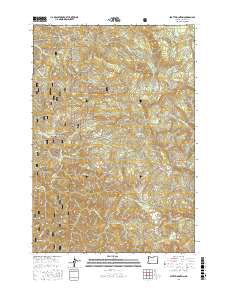
2017 Map of Stott Mountain
USGS Topo · Published 2017About this map
Rose Lodge sits at the northern edge of this high-relief landscape in Lincoln County, where the topography is defined by the steep drainages of the Coast Range. The map details the intricate hydrography of the Siuslaw National Forest, showing the headwaters of the Salmon River and the S-Fork Siletz River as they carve through the timbered highlands. Distinctive upland features like Jeeter Prairie and Lost Prairie offer a contrast to the surrounding ridges, while named peaks such as Stott Mountain, Saddle Bag Mtn, and Diamond Peak mark the primary elevations. This 2017 survey documents the modern road network essential for forest management and local access, including N Slick Rock Creek Rd and various Bureau of Land Management routes like BLM Rd 34, providing a clear record of how this timber-producing region is navigated today.
Find a feature on this map
83 named features on this map. Tap any name to fly to it.
Don’t see what you’re looking for? This feature index may not catch every label — zoom into the map to look around manually.
Map Details
Editions of this 2017 Stott Mountain Map
This is the sole edition of this map. No revisions or reprints were ever made.
Other maps of this area

1941 · Nestucca Bay
USGS Topo · 1:62,500

1942 · Euchre Mtn
USGS Topo · 1:62,500

1942 · Spirit Mtn
USGS Topo · 1:62,500

1942 · Nestucca Bay
USGS Topo · 1:62,500

1942 · Valsetz
USGS Topo · 1:62,500

1943 · Euchre Mtn
USGS Topo · 1:62,500

1948 · Vancouver
USGS Topo · 1:250,000

1950 · Vancouver
USGS Topo · 1:250,000

1950 · Vancouver
USGS Topo · 1:250,000

1953 · Salem
USGS Topo · 1:250,000