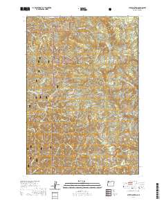
2020 Map of Stott Mountain
USGS Topo · Published 2020About this map
Siuslaw National Forest dominates this section of the Oregon Coast Range, a landscape defined by sharp elevation changes and a dense network of watercourses. The peaks of Stott Mtn and Saddle Bag Mtn overlook a complex drainage system where the Salmon River and the N Fork Siletz River begin their descent toward the Pacific. The presence of Jeeter Prairie and Lost Prairie in the northern reaches suggests rare open openings within the heavy timber. Forestry and resource management are evident through the network of access routes, including BLM Rd 12 and Nat For Dev Rd 1782, which navigate around features like Box Canyon and Elk Ridge. For those interested in the natural landmarks of Lincoln County, the map precisely locates Drift Creek Falls and various summits such as Deadwood Mtn and Diamond Peak, illustrating the area's transition from high ridges to deep creek beds.
Find a feature on this map
41 named features on this map. Tap any name to fly to it.
Don’t see what you’re looking for? This feature index may not catch every label — zoom into the map to look around manually.
Map Details
Editions of this 2020 Stott Mountain Map
This is the sole edition of this map. No revisions or reprints were ever made.
Other maps of this area

1941 · Nestucca Bay
USGS Topo · 1:62,500

1942 · Euchre Mtn
USGS Topo · 1:62,500

1942 · Spirit Mtn
USGS Topo · 1:62,500

1942 · Nestucca Bay
USGS Topo · 1:62,500

1942 · Valsetz
USGS Topo · 1:62,500

1943 · Euchre Mtn
USGS Topo · 1:62,500

1948 · Vancouver
USGS Topo · 1:250,000

1950 · Vancouver
USGS Topo · 1:250,000

1950 · Vancouver
USGS Topo · 1:250,000

1953 · Salem
USGS Topo · 1:250,000