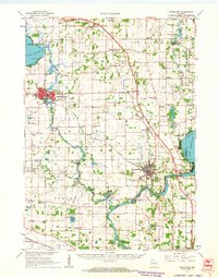
1961 Map of Stoughton
USGS Topo · Published 1963About this map
The Yahara River and Rock River valley define this agricultural landscape in the early 1960s, linking the bustling trade centers of Stoughton and Edgerton. This survey illustrates a post-war rural infrastructure still heavily reliant on local landmarks, featuring a dense network of country schools such as West Koshkonong Sch and Pleasant Hill Sch. Transportation is anchored by the Chicago Milwaukee St Paul and Pacific railroad, which services the tobacco-growing region surrounding Edgerton, known here as the home of the Tobacco City Airport.
Find a feature on this map
98 named features on this map. Tap any name to fly to it.
Don’t see what you’re looking for? This feature index may not catch every label — zoom into the map to look around manually.
Map Details
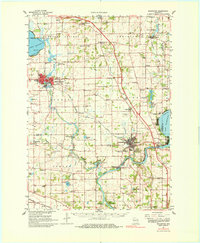
Editions of this 1961 Stoughton Map
2 editions found
Other maps of this area

1889 · Evansville
USGS Topo · 1:62,500

1890 · Madison
USGS Topo · 1:62,500

1890 · Sun Prairie
USGS Topo · 1:62,500

1890 · Stoughton
USGS Topo · 1:62,500

1891 · Waterloo
USGS Topo · 1:62,500

1891 · Koshkonong
USGS Topo · 1:62,500

1891 · Janesville
USGS Topo · 1:62,500

1892 · Madison
USGS Topo · 1:62,500

1893 · Janesville
USGS Topo · 1:62,500

1893 · Brodhead
USGS Topo · 1:62,500