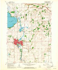
1961 Map of Stoughton
USGS Topo · Published 1964About this map
The Yahara River winds southward through this 1961 survey, connecting the expansive Lake Kegonsa to the industrial and residential heart of Stoughton. The city is defined by its infrastructure and institutional presence, featuring the Chicago Milwaukee St Paul and Pacific railroad corridor, a water tank, and a sewage disposal plant. Local heritage is preserved in several civic landmarks, including the Old Folks Home and the Martin Luther Childrens Home located north of the city center.
Find a feature on this map
41 named features on this map. Tap any name to fly to it.
Don’t see what you’re looking for? This feature index may not catch every label — zoom into the map to look around manually.
Map Details
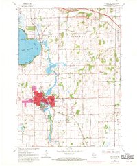
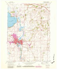
Editions of this 1961 Stoughton Map
3 editions found
Other maps of this area

1889 · Evansville
USGS Topo · 1:62,500

1890 · Madison
USGS Topo · 1:62,500

1890 · Sun Prairie
USGS Topo · 1:62,500

1890 · Stoughton
USGS Topo · 1:62,500

1892 · Madison
USGS Topo · 1:62,500

1894 · Evansville
USGS Topo · 1:62,500

1896 · Sun Prairie
USGS Topo · 1:62,500

1904 · Madison
USGS Topo · 1:62,500

1905 · Sun Prairie
USGS Topo · 1:62,500

1906 · Evansville
USGS Topo · 1:62,500