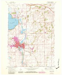
1961 Map of Stoughton
USGS Topo · Published 1983About this map
The city of Stoughton anchors this 1961 survey, situated along a sharp bend of the Yahara River in southern Dane County. This edition highlights the town's growth into the early 1980s, noting the urban expansion in purple around institutional landmarks like the Martin Luther Childrens Home and St Anna Sch. Downstream, the small community of Dunkirk and the nearby Hanerville reflect the rural township character that defines much of Pleasant Springs and the surrounding farmland.
Find a feature on this map
42 named features on this map. Tap any name to fly to it.
Don’t see what you’re looking for? This feature index may not catch every label — zoom into the map to look around manually.
Map Details
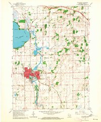
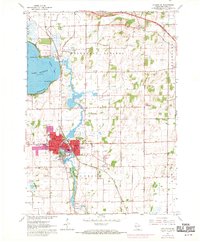
Editions of this 1961 Stoughton Map
3 editions found
Other maps of this area

1889 · Evansville
USGS Topo · 1:62,500

1890 · Madison
USGS Topo · 1:62,500

1890 · Sun Prairie
USGS Topo · 1:62,500

1890 · Stoughton
USGS Topo · 1:62,500

1892 · Madison
USGS Topo · 1:62,500

1894 · Evansville
USGS Topo · 1:62,500

1896 · Sun Prairie
USGS Topo · 1:62,500

1904 · Madison
USGS Topo · 1:62,500

1905 · Sun Prairie
USGS Topo · 1:62,500

1906 · Evansville
USGS Topo · 1:62,500