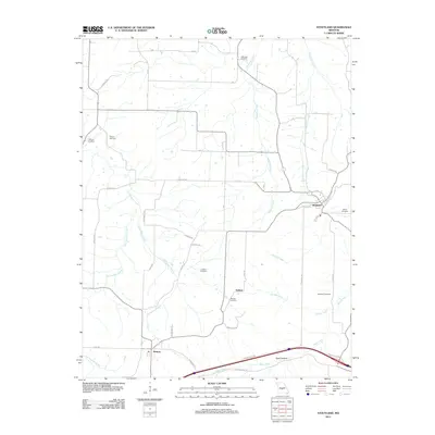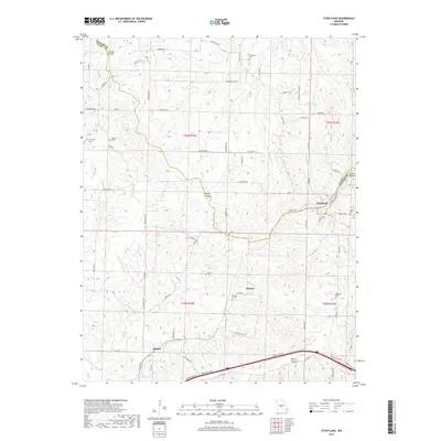
1978 Map of Stoutland
USGS Topo · Published 1978About this map
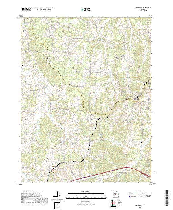
The settlement of Stoutland sits at the junction of the St Louis-San Francisco railroad and several local roads on the border of Camden and Laclede Counties. This late-1970s landscape is defined by its numerous family and community burial grounds, including the Lomax Cem, Barnett Cem, and Mayfield Cem, which offer significant primary data for genealogical research in this part of Missouri. The terrain is deeply dissected by a network of waterways such as Auglaize Creek and Stoutland Creek, with the southern portion featuring the Hermit Tract State Public Hunting Area. Smaller hamlets like Delmar and Sleeper are positioned along the rail line and rural routes, reflecting a settlement pattern centered on agricultural transport and small-scale community centers typical of the Ozark plateau region.
Find a feature on this map
32 named features on this map. Tap any name to fly to it.
Don’t see what you’re looking for? This feature index may not catch every label — zoom into the map to look around manually.
Map Details
Editions of this 1978 Stoutland Map
This is the sole edition of this map. No revisions or reprints were ever made.
Historical Maps of Delmar Through Time
7 maps found