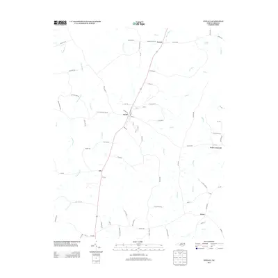
2013 Map of Stovall
USGS Topo · Published 2013About this map
Stovall serves as the central hub for this portion of Granville County, where the intersection of Railroad St and Durham St hints at the community's historic transportation roots. The landscape is defined by a dense network of tributaries flowing into the surrounding basins, including Grassy Cr and Little Grassy Cr to the west, and the meandering paths of Gills Cr and Howlett Cr to the east. Small settlements and crossroads like Gela, Bullock, and Hicks Crossroads are linked by a web of rural roads, many bearing family names like Thornton Grissom Rd and Matt Currin Rd. Near the northern border, Buckhorn Springs sits among the headwaters of Beaver Pond Cr, illustrating the well-watered nature of this Piedmont terrain. The presence of naming conventions like Horner Siding Rd suggests the historical importance of rail-side commerce and local industry in the rural outskirts of Lewis and Dexter.
Find a feature on this map
81 named features on this map. Tap any name to fly to it.
Don’t see what you’re looking for? This feature index may not catch every label — zoom into the map to look around manually.
Map Details
Editions of this 2013 Stovall Map
This is the sole edition of this map. No revisions or reprints were ever made.
Other maps of this area

1941 · Clarksville
USGS Topo · 1:48,000

1943 · Clarksville
USGS Topo · 1:62,500

1953 · Oxford
USGS Topo · 1:62,500

1953 · Greensboro
USGS Topo · 1:250,000

1954 · Greensboro
USGS Topo · 1:250,000

1955 · Boydton
USGS Topo · 1:62,500

1957 · Clarksville
USGS Topo · 1:62,500

1962 · Greensboro
USGS Topo · 1:250,000

1966 · Greensboro
USGS Topo · 1:250,000

1966 · Oxford
USGS Topo · 1:62,500