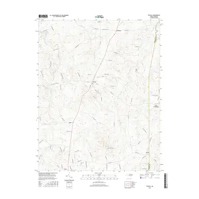
2016 Map of Stovall
USGS Topo · Published 2016About this map
Stovall serves as the central hub of this North Carolina landscape, where a grid of local streets including Main St and Elm St meets the rural road network of Granville Co and Vance Co. The terrain is defined by a dense network of tributaries, such as Grassy Cr and Spewmarrow Cr, which carve through the countryside toward smaller settlements like Bullock and Gela. Genealogists and local researchers will find significant landmarks of the area's heritage, notably John Penns Grave and the Royster Cem. The landscape is largely agricultural and residential, punctuated by remote junctions like Hicks Crossroads and Dexter. The drainage patterns of Island Cr and Michael Cr suggest a deeply dissected plateau, where the placement of legacy homesteads and cemeteries was dictated by the rising elevations between these numerous small watercourses.
Find a feature on this map
84 named features on this map. Tap any name to fly to it.
Don’t see what you’re looking for? This feature index may not catch every label — zoom into the map to look around manually.
Map Details
Editions of this 2016 Stovall Map
This is the sole edition of this map. No revisions or reprints were ever made.
Other maps of this area

1941 · Clarksville
USGS Topo · 1:48,000

1943 · Clarksville
USGS Topo · 1:62,500

1953 · Oxford
USGS Topo · 1:62,500

1953 · Greensboro
USGS Topo · 1:250,000

1954 · Greensboro
USGS Topo · 1:250,000

1955 · Boydton
USGS Topo · 1:62,500

1957 · Clarksville
USGS Topo · 1:62,500

1962 · Greensboro
USGS Topo · 1:250,000

1966 · Greensboro
USGS Topo · 1:250,000

1966 · Oxford
USGS Topo · 1:62,500