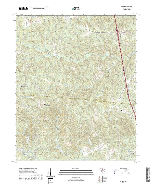
2024 Map of Stover
USGS Topo · Published 2024About this map
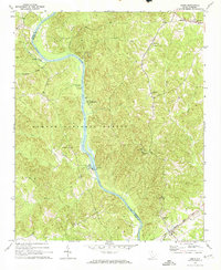
The settlement of Stover sits at the intersection of local history and modern infrastructure, positioned on the boundary between Chester and Fairfield Counties. This landscape is defined by its religious and genealogical landmarks, including Gold Mine Church and its accompanying Gold Mine Graveyard to the north, and Mount Aimwell Church to the west. To the southeast, the Richmond Covenanter Church and Richmond Covenanter Graveyard further indicate the area's deep-rooted community foundations. The terrain is deeply carved by a network of waterways, most notably Big Wateree Creek and its managed tributaries, such as the Wateree Cr Conservation District Reservoir. These water sources, including Little Rocky Creek and Bull Skin Creek, dictate the winding paths of rural roads like Moffit Creek Rd and Old Catholic Church Rd, contrasting with the straight, modern corridor of the interstate that now bisects the eastern hills.
Find a feature on this map
49 named features on this map. Tap any name to fly to it.
Don’t see what you’re looking for? This feature index may not catch every label — zoom into the map to look around manually.
Map Details
Editions of this 2024 Stover Map
This is the sole edition of this map. No revisions or reprints were ever made.
Historical Maps of Wellridge Through Time
14 maps found
1968 Blackstock
Chester County, SC
1969 Baton Rouge
Chester County, SC
1969 Carlisle SE
Chester County, SC
1969 Leeds
Chester County, SC
1969 Stover
Chester County, SC
1972 Armenia
Chester County, SC
1982 Edgemoor
Chester County, SC
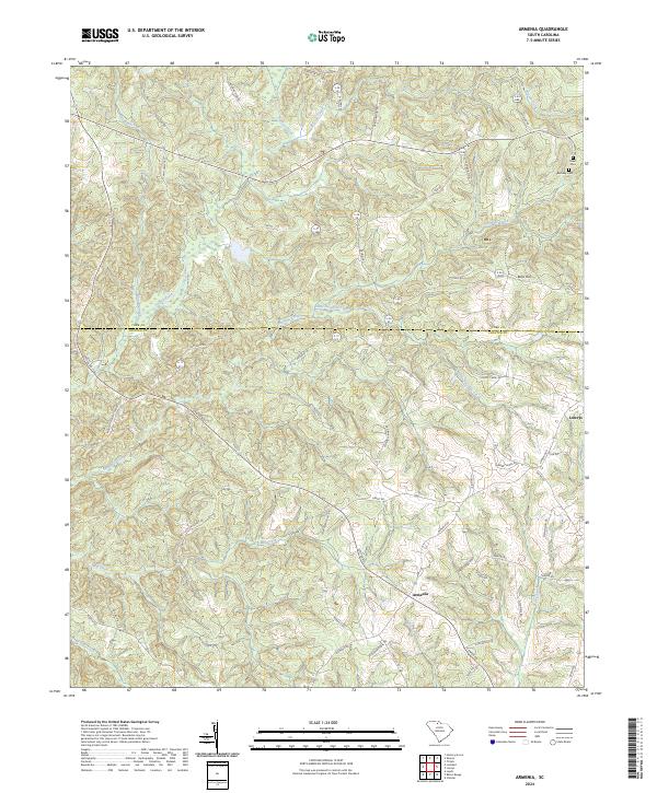
2024 Armenia
Chester County, SC
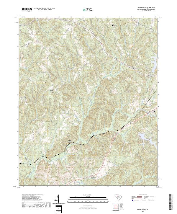
2024 Baton Rouge
Chester County, SC
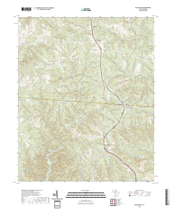
2024 Blackstock
Chester County, SC
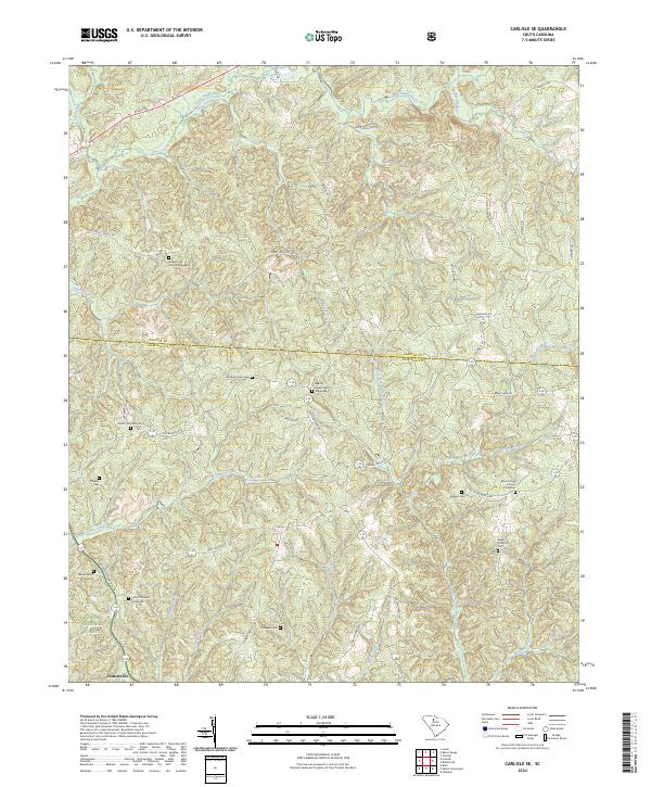
2024 Carlisle SE
Chester County, SC
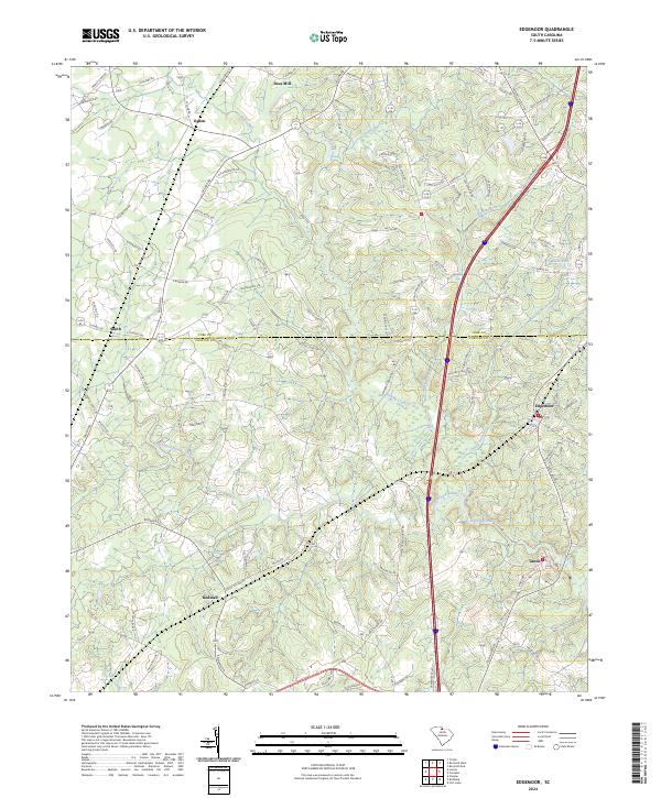
2024 Edgemoor
Chester County, SC
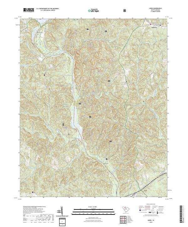
2024 Leeds
Chester County, SC
2024 Stover
Chester County, SC