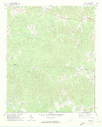
1969 Map of Stover
USGS Topo · Published 1973About this map
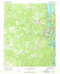
Big Wateree Creek and its many tributaries define this late-1960s landscape along the border of Chester and Fairfield Counties. The settlement of Stover serves as a small focal point in an area characterized by scattered rural churches and family landmarks. Researchers focusing on local genealogy will find several congregations recorded, including Guest Assembly Ch, Aimwell Ch, and New Zion Ch.
Find a feature on this map
20 named features on this map. Tap any name to fly to it.
Don’t see what you’re looking for? This feature index may not catch every label — zoom into the map to look around manually.
Map Details
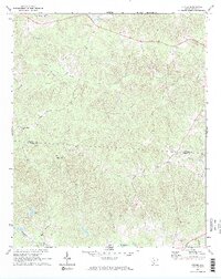
Editions of this 1969 Stover Map
2 editions found
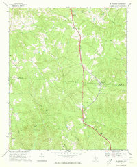
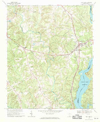
Other maps of this area

1904 · Columbia
USGS Topo · 1:125,000

1941 · Spartanburg
USGS Topo · 1:250,000

1942 · Camden
USGS Topo · 1:125,000

1953 · Spartanburg
USGS Topo · 1:250,000

1960 · Spartanburg
USGS Topo · 1:250,000

1963 · Spartanburg
USGS Topo · 1:250,000

1964 · Spartanburg
USGS Topo · 1:250,000
1968 · Blackstock
USGS Topo · 1:24,000
1969 · Fort Lawn
USGS Topo · 1:24,000
1969 · Great Falls
USGS Topo · 1:24,000