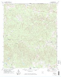
1969 Map of Stover
USGS Topo · Published 1973About this map
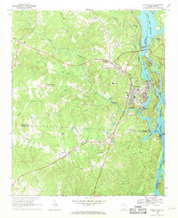
Stover sits at the heart of this rural landscape, marking the transition across the Chester Co Fairfield Co line during the late 1960s. The area is defined by a dense network of watercourses, including Shannon Creek and the meandering Big Wateree Creek, which drain a countryside dotted with small community landmarks. For those tracing local families, the map identifies several significant rural burial grounds and houses of worship, such as the Gold Mine Cem in the north and the Aimwell Ch Cem near the center of the sheet.
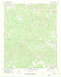
Find a feature on this map
21 named features on this map. Tap any name to fly to it.
Don’t see what you’re looking for? This feature index may not catch every label — zoom into the map to look around manually.
Map Details
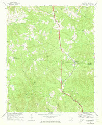
Editions of this 1969 Stover Map
2 editions found
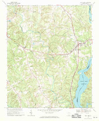
Other maps of this area

1904 · Columbia
USGS Topo · 1:125,000

1941 · Spartanburg
USGS Topo · 1:250,000

1942 · Camden
USGS Topo · 1:125,000

1953 · Spartanburg
USGS Topo · 1:250,000

1960 · Spartanburg
USGS Topo · 1:250,000

1963 · Spartanburg
USGS Topo · 1:250,000

1964 · Spartanburg
USGS Topo · 1:250,000
1968 · Blackstock
USGS Topo · 1:24,000
1969 · Fort Lawn
USGS Topo · 1:24,000
1969 · Great Falls
USGS Topo · 1:24,000