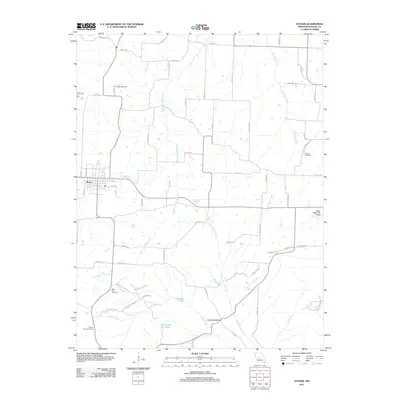
2011 Map of Stover
USGS Topo · Published 2011About this map
The town of Stover serves as the central hub of this Missouri landscape, where the street grid transitions into a sprawling network of rural routes and watercourses. The drainage patterns of the Ozark border are clearly defined by the paths of Middle Richland Creek and Gravois Creek, while the prominent ridge known as Devils Backbone rises above the confluence of local streams. Genealogists and local historians will find significant value in the distribution of family and community burial sites, including Hinken Cemetery, Antioch Cemetery, and the Chaney Chapel Cemetery. The presence of the Otten Memorial Airport to the east of town and the recreational development around Crystal Lake reflect the modern infrastructure and land use of the early twenty-first century.
Find a feature on this map
63 named features on this map. Tap any name to fly to it.
Don’t see what you’re looking for? This feature index may not catch every label — zoom into the map to look around manually.
Map Details
Editions of this 2011 Stover Map
This is the sole edition of this map. No revisions or reprints were ever made.
Other maps of this area

1887 · Sedalia
USGS Topo · 1:125,000

1887 · Warsaw
USGS Topo · 1:125,000

1888 · Versailles
USGS Topo · 1:125,000

1888 · Boonville
USGS Topo · 1:125,000

1893 · Versailles
USGS Topo · 1:125,000

1894 · Warsaw
USGS Topo · 1:125,000

1894 · Sedalia
USGS Topo · 1:125,000

1904 · Gravois Mills
USGS Topo · 1:62,500

1935 · Gravois Mills
USGS Topo · 1:24,000

1935 · Proctor Creek
USGS Topo · 1:24,000