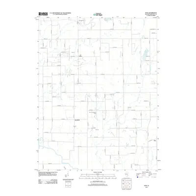
2012 Map of Stoy
USGS Topo · Published 2012About this map
Hardinville and the Main Consolidated Oil and Gas Field anchor this portion of southern Crawford County, where the landscape is defined by the intersection of rural agriculture and energy extraction. The grid of country roads connects historic family landmarks such as Prier Cem, Jones Cem, and Richart Cem, providing a detailed look at the local genealogy of the area. In the northern reaches, the community of Oil Center sits near Little Cr, while the southwestern corner is defined by the winding course of the Embarras River. Smaller settlements like Villas and local water bodies including Brooks Lake and West Lake illustrate the distribution of late 20th-century rural life before modern consolidation, preserved here through a comprehensive topographic survey from the early 2010s.
Find a feature on this map
69 named features on this map. Tap any name to fly to it.
Don’t see what you’re looking for? This feature index may not catch every label — zoom into the map to look around manually.
Map Details
Editions of this 2012 Stoy Map
This is the sole edition of this map. No revisions or reprints were ever made.
Other maps of this area

1910 · Hardinville
USGS Topo · 1:62,500

1917 · Birds
USGS Topo · 1:62,500

1942 · Birds
USGS Topo · 1:62,500

1953 · Indianapolis
USGS Topo · 1:250,000

1956 · Indianapolis
USGS Topo · 1:250,000

1956 · Annapolis
USGS Topo · 1:62,500

1956 · Vincennes
USGS Topo · 1:250,000

1957 · Indianapolis
USGS Topo · 1:250,000

1957 · Vincennes
USGS Topo · 1:250,000

1957 · Hutsonville
USGS Topo · 1:62,500