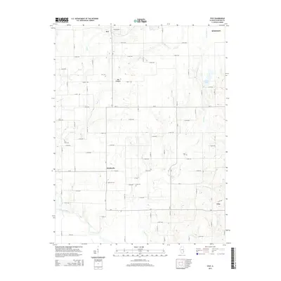
2015 Map of Stoy
USGS Topo · Published 2015About this map
Oil Center and the village of Stoy are prominent features in this portion of Crawford County, reflecting the region's historical ties to petroleum production. The landscape is a structured grid of rural roads, such as E 800th Ave and N 400th St, that connect scattered settlements like Hardinville and Villas. The terrain is deeply influenced by the local drainage systems, including Little Cr, Painter Fork, and the Embarras River winding across the southern boundary.
Find a feature on this map
69 named features on this map. Tap any name to fly to it.
Don’t see what you’re looking for? This feature index may not catch every label — zoom into the map to look around manually.
Map Details
Editions of this 2015 Stoy Map
This is the sole edition of this map. No revisions or reprints were ever made.
Other maps of this area

1910 · Hardinville
USGS Topo · 1:62,500

1917 · Birds
USGS Topo · 1:62,500

1942 · Birds
USGS Topo · 1:62,500

1953 · Indianapolis
USGS Topo · 1:250,000

1956 · Indianapolis
USGS Topo · 1:250,000

1956 · Annapolis
USGS Topo · 1:62,500

1956 · Vincennes
USGS Topo · 1:250,000

1957 · Indianapolis
USGS Topo · 1:250,000

1957 · Vincennes
USGS Topo · 1:250,000

1957 · Hutsonville
USGS Topo · 1:62,500