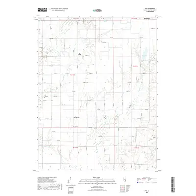
2018 Map of Stoy
USGS Topo · Published 2018About this map
The Embarras River winds across the southern reaches of this Crawford County landscape, defining the local drainage alongside several significant tributaries like Painter Fork and Honey Cr. This 2018 survey reveals a rural settlement pattern centered on small communities like Stoy, Hardinville, and the aptly named Oil Center. The grid of local roads, such as E 600th Ave and Co HWY 8, connects these hamlets to numerous family and community landmarks. Genealogists will find a wealth of specific local history through several well-documented burial sites, including Richart Cem, Prier Cem, and the Hardinville Cem. The topography is shaped by water bodies like West Lake and Brooks Lake, which sit among the agricultural fields and timbered creek bottoms that characterize this portion of eastern Illinois.
Find a feature on this map
51 named features on this map. Tap any name to fly to it.
Don’t see what you’re looking for? This feature index may not catch every label — zoom into the map to look around manually.
Map Details
Editions of this 2018 Stoy Map
This is the sole edition of this map. No revisions or reprints were ever made.
Other maps of this area

1910 · Hardinville
USGS Topo · 1:62,500

1917 · Birds
USGS Topo · 1:62,500

1942 · Birds
USGS Topo · 1:62,500

1953 · Indianapolis
USGS Topo · 1:250,000

1956 · Indianapolis
USGS Topo · 1:250,000

1956 · Annapolis
USGS Topo · 1:62,500

1956 · Vincennes
USGS Topo · 1:250,000

1957 · Indianapolis
USGS Topo · 1:250,000

1957 · Vincennes
USGS Topo · 1:250,000

1957 · Hutsonville
USGS Topo · 1:62,500