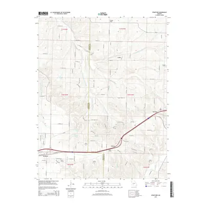
2015 Map of Strafford
USGS Topo · Published 2015About this map
The town of Strafford serves as a focal point in this 2015 survey, situated where the historic corridor of E Old Route 66 meets the modern thoroughfares of the Ozark plateau. The landscape is defined by the headwaters of several major drainage systems, including the Little Sac River and the various forks of the Pomme de Terre River. The terrain transitions from the relatively flat uplands near the Greene and Webster county line into the more dissected topography of Millan Hollow. Local family history is well-preserved through numerous small burial grounds such as Mullimax Cemetery, Willis Cemetery, and Welch Cemetery. Water features like Hardeke Lake, Mueller Lake, and Salisbury Lake dot the countryside, while small named communities like Holman, Caddo, and Red Top anchor the rural road network, which is dominated by a systematic grid of farm roads and residential lanes such as Bumgarner Blvd.
Find a feature on this map
102 named features on this map. Tap any name to fly to it.
Don’t see what you’re looking for? This feature index may not catch every label — zoom into the map to look around manually.
Map Details
Editions of this 2015 Strafford Map
This is the sole edition of this map. No revisions or reprints were ever made.
Other maps of this area

1884 · Springfield
USGS Topo · 1:125,000

1886 · Springfield
USGS Topo · 1:125,000

1937 · Galloway
USGS Topo · 1:24,000

1937 · Ozark
USGS Topo · 1:48,000

1939 · Fordland
USGS Topo · 1:62,500

1942 · Fordland
USGS Topo · 1:62,500

1943 · Ozark
USGS Topo · 1:62,500

1945 · Ozark
USGS Topo · 1:62,500

1946 · Bassville
USGS Topo · 1:24,000

1946 · Niangua
USGS Topo · 1:62,500