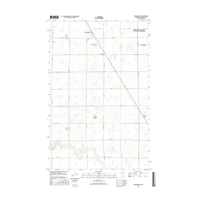
2016 Map of Strandquist
USGS Topo · Published 2016About this map
Strandquist stands as the primary settlement in this corner of Marshall County, appearing as a concentrated hub at the intersection of a diagonal rail line and several county highways. The surrounding landscape is defined by the rigid grid of the Public Land Survey System, though the natural path of the Middle River winds through the southern townships, providing a sharp contrast to the straight-line drainage of Judicial Ditch Number Nineteen to the north.
Find a feature on this map
31 named features on this map. Tap any name to fly to it.
Don’t see what you’re looking for? This feature index may not catch every label — zoom into the map to look around manually.
Map Details
Editions of this 2016 Strandquist Map
This is the sole edition of this map. No revisions or reprints were ever made.
Other maps of this area

1919 · Pelan
USGS Topo · 1:62,500

1952 · Thief River Falls
USGS Topo · 1:250,000

1956 · Thief River Falls
USGS Topo · 1:250,000

1956 · Karlstad
USGS Topo · 1:62,500

1956 · Florian
USGS Topo · 1:62,500

1957 · Thief River Falls
USGS Topo · 1:250,000

1957 · Newfolden
USGS Topo · 1:62,500

1957 · Pelan
USGS Topo · 1:62,500

1967 · Thief River Falls
USGS Topo · 1:250,000
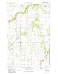
1982 · Florian SE
USGS Topo · 1:24,000