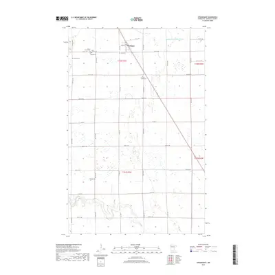
2019 Map of Strandquist
USGS Topo · Published 2019About this map
Strandquist serves as the focal point of this Marshall County landscape, where the flat agricultural terrain of northwestern Minnesota is defined by a grid of rural section roads and drainage projects like Judicial Ditch Number Nineteen. The map reveals a high concentration of denominational burial sites, suggesting a diverse heritage of Scandinavian and European settlement. These include the Mission Covenant Cem, Augustana Lutheran Cem, and the Norwegian Cem. To the south, the meandering course of the Middle River breaks the geometry of the surrounding farmland, winding through sections 28 and 29. The infrastructure is characterized by a network of county highways and local routes such as Co Hwy 28 and 400th St NW, which facilitate movement between the small village center and the outlying farmsteads.
Find a feature on this map
32 named features on this map. Tap any name to fly to it.
Don’t see what you’re looking for? This feature index may not catch every label — zoom into the map to look around manually.
Map Details
Editions of this 2019 Strandquist Map
This is the sole edition of this map. No revisions or reprints were ever made.
Other maps of this area

1919 · Pelan
USGS Topo · 1:62,500

1952 · Thief River Falls
USGS Topo · 1:250,000

1956 · Thief River Falls
USGS Topo · 1:250,000

1956 · Karlstad
USGS Topo · 1:62,500

1956 · Florian
USGS Topo · 1:62,500

1957 · Thief River Falls
USGS Topo · 1:250,000

1957 · Newfolden
USGS Topo · 1:62,500

1957 · Pelan
USGS Topo · 1:62,500

1967 · Thief River Falls
USGS Topo · 1:250,000
1982 · Florian SE
USGS Topo · 1:24,000