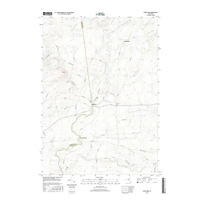
2016 Map of Stratford
USGS Topo · Published 2016About this map
Stratford sits at the heart of this landscape where the Herkimer and Fulton County line divides the terrain. The settlement pattern here is closely tied to the water, with the significant corridor of East Canada Creek winding through the center, joined by tributaries like Ayers Cr and Stony Brook. To the north, the elevation rises toward Oak Mtn and Bear Hill, while the remote northern reaches contain water bodies such as Knapp Reservoir and Stony Brook Lake. Local history and genealogy are anchored by several burying grounds, including Stratford Cem, Roundtop Cem near the eponymous Roundtop hill, and Smith Cem further south. The map traces a network of rural roads that once supported local industry, evidenced by names like Perkins Mill Rd and Bingham Mill Rd, linking small clusters of homes at Emmonsburg and Knappville.
Find a feature on this map
66 named features on this map. Tap any name to fly to it.
Don’t see what you’re looking for? This feature index may not catch every label — zoom into the map to look around manually.
Map Details
Editions of this 2016 Stratford Map
This is the sole edition of this map. No revisions or reprints were ever made.
Other maps of this area

1900 · Little Falls
USGS Topo · 1:62,500

1900 · Wilmurt
USGS Topo · 1:62,500

1901 · Lassellsville
USGS Topo · 1:62,500

1902 · Wilmurt
USGS Topo · 1:62,500

1903 · Lassellsville
USGS Topo · 1:62,500

1903 · Little Falls
USGS Topo · 1:62,500

1904 · Piseco Lake
USGS Topo · 1:62,500

1906 · Piseco Lake
USGS Topo · 1:62,500

1908 · Piseco Lake
USGS Topo · 1:62,500

1939 · Little Falls
USGS Topo · 1:62,500