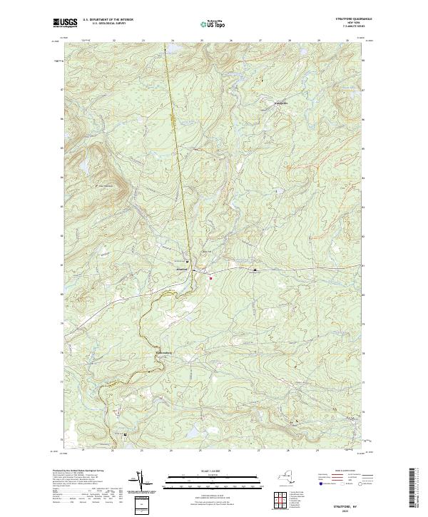
2023 Map of Stratford
USGS Topo · Published 2023About this map
Stratford and the neighboring hamlet of Emmonsburg sit along the dividing line of Herkimer and Fulton counties, centered on the winding course of East Canada Creek. The landscape is defined by the transition from settled valley floors to the elevated terrain of Oak Mountain and Bear Hill. Numerous water bodies, including Stony Brook Lake and Conglin Lakes, are tucked into the high ground, feeding into a network of streams such as Moose Creek, Sprite Creek, and Ayers Creek.
Find a feature on this map
72 named features on this map. Tap any name to fly to it.
Don’t see what you’re looking for? This feature index may not catch every label — zoom into the map to look around manually.
Map Details
Editions of this 2023 Stratford Map
This is the sole edition of this map. No revisions or reprints were ever made.
Other maps of this area

1900 · Little Falls
USGS Topo · 1:62,500

1900 · Wilmurt
USGS Topo · 1:62,500

1901 · Lassellsville
USGS Topo · 1:62,500

1902 · Wilmurt
USGS Topo · 1:62,500

1903 · Lassellsville
USGS Topo · 1:62,500

1903 · Little Falls
USGS Topo · 1:62,500

1904 · Piseco Lake
USGS Topo · 1:62,500

1906 · Piseco Lake
USGS Topo · 1:62,500

1908 · Piseco Lake
USGS Topo · 1:62,500

1939 · Little Falls
USGS Topo · 1:62,500